Hiking & Trekking
Choose Sri Lanka walks by route type, current access, weather, exposure and whether the path is also an active pilgrimage.
Sri Lanka walking routes range from protected highland paths to town-edge viewpoints and an active pilgrimage ascent. Choose the exact route first; “hill country” does not guarantee cool, dry, marked or low-risk conditions.
Three different walking contexts
- Protected landscape: Horton Plains is part of the UNESCO-listed Central Highlands. Check park access, permitted routes and ranger instructions.
- Active pilgrimage: Sri Pada is a sacred journey as well as a physically demanding climb. Current pilgrimage arrangements, crowd conditions and transport matter.
- Town-based walks: routes around Ella, including Little Adam's Peak, still require current path, weather and daylight checks.
Assess the route, not a generic difficulty label
Ask about distance, ascent, surface, exposure, navigation, water, shade, mobile coverage and the nearest safe exit. Consider your fitness and any health limitations. A route that is short on a map may still be unsuitable in heat, rain, darkness or poor visibility.
Check the Department of Meteorology forecast and official park information close to the walk. Stay on permitted paths, carry out waste and follow barriers and local instructions. This page does not provide an emergency service or claim first-hand trail inspection.
Choose by terrain and consequence
Sri Lanka's walks range from urban viewpoints to exposed mountain and forest routes. Compare elevation, surface, navigation, weather exposure, permit requirements and the cost of turning back. Little Adam's Peak and World's End are not substitutes for Sri Pada or guided forest access.
Prepare for the actual route
Check the responsible authority's current opening and access information, the Department of Meteorology forecast, daylight, water and suitable footwear. Start only when the complete route fits the least experienced person. In protected forests, use required guides and stay on authorised paths.
Treat weather as a go/no-go input
Rain can affect footing, visibility, streams and road access before it becomes dramatic at the trailhead. Keep a shorter alternative and be willing to turn around. A famous viewpoint does not justify entering a closed area or continuing in unsafe conditions.
Sources
Last verified 2026-08-28
Destinations for this
Ella
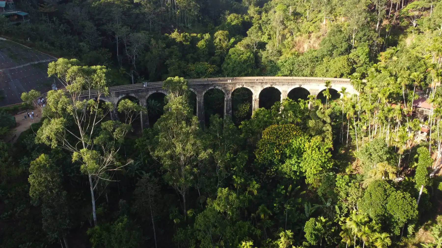
A Badulla District hill-country base for Ella-area walks, waterfalls and the Nine Arch Bridge, with transport and trail conditions to verify.
Hatton
A tea-country transport base used for routes toward Sri Pada, with rail and road details requiring current verification.
Nuwara Eliya
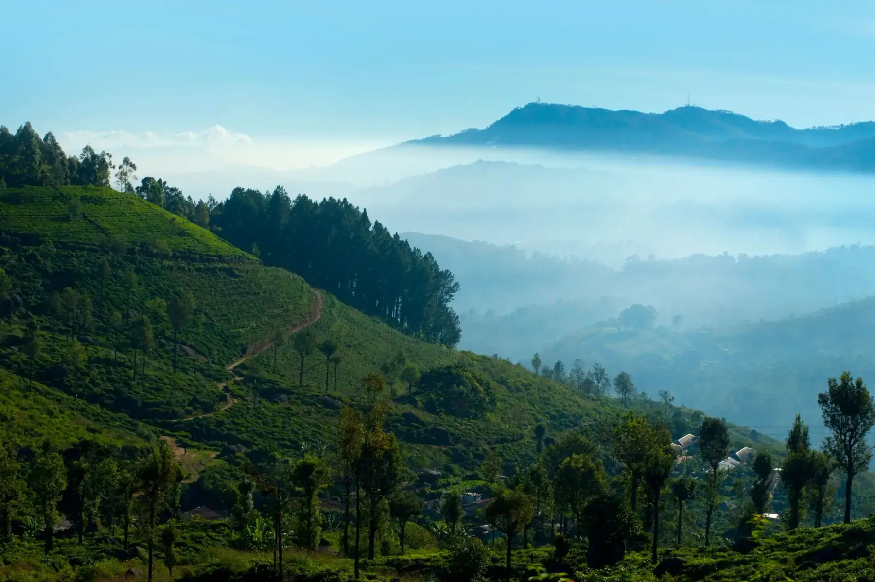
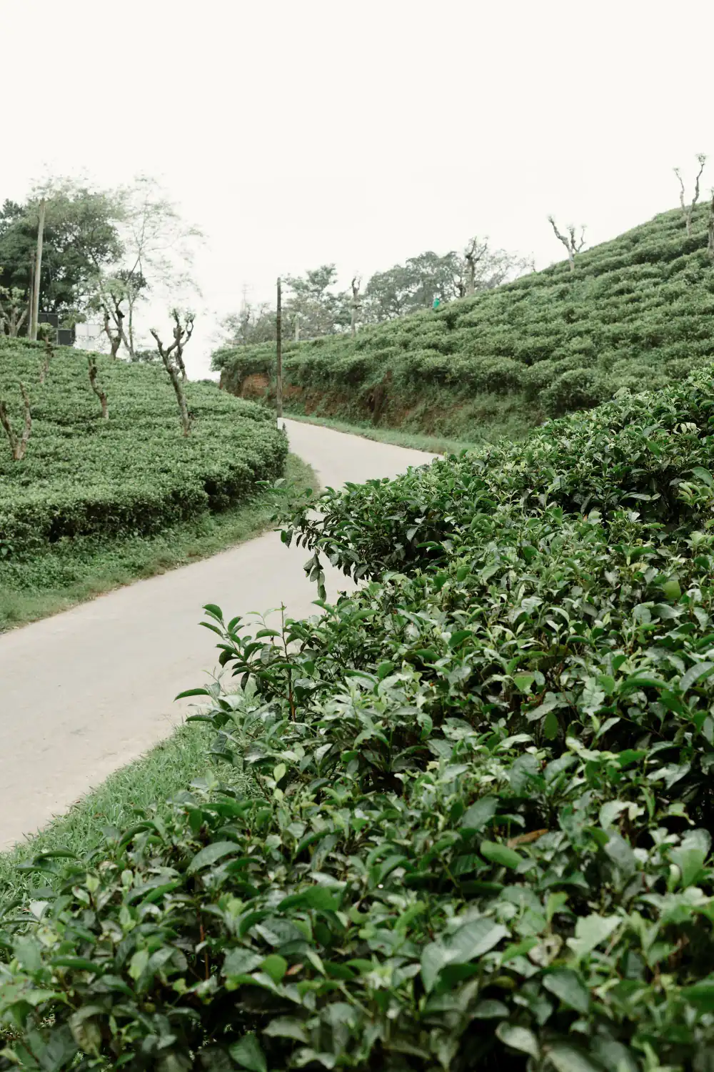
A hill-country base for tea-region visits and access planning for Horton Plains, distinct from Ella and Kandy.
Ratnapura
A gem-industry centre and route base for selected Sabaragamuwa journeys, with licensed trade and site access requiring verification.
Sigiriya
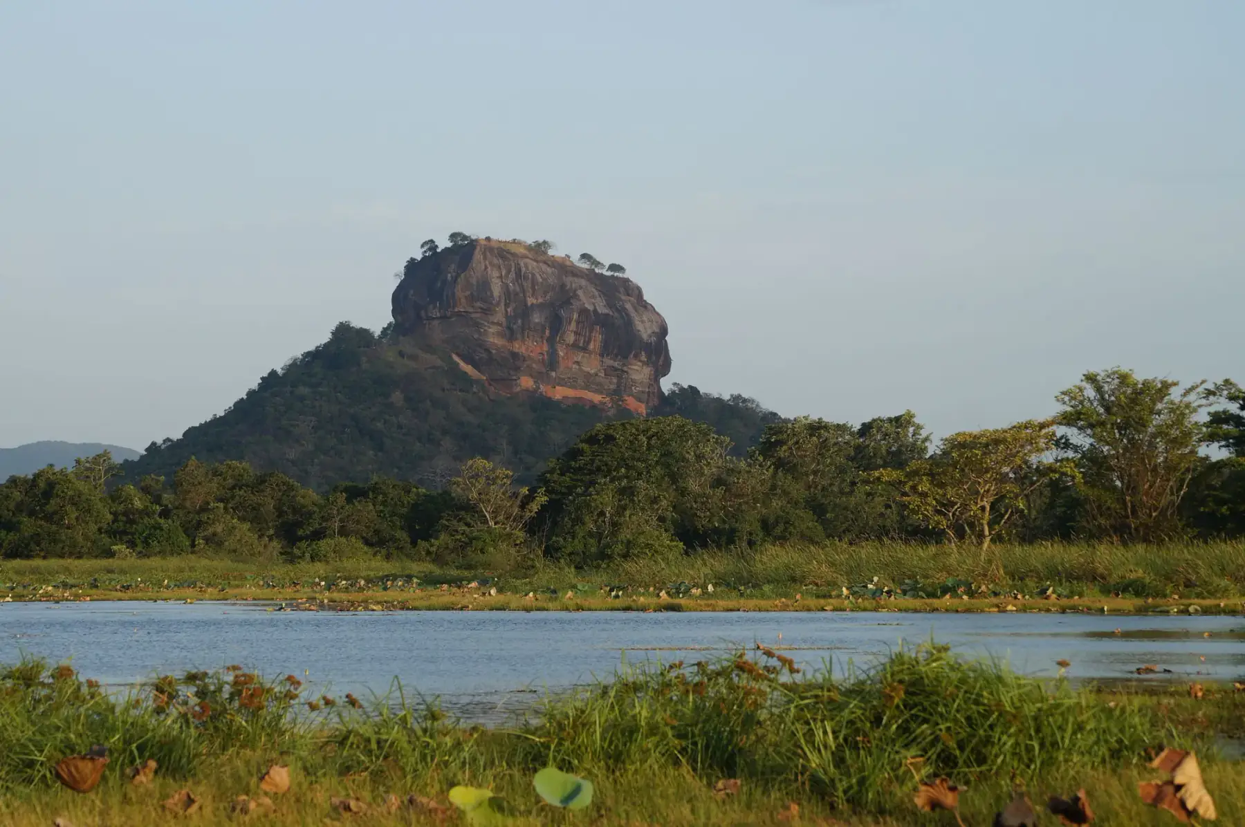
A Matale District base whose clearest purpose is planning a visit to the UNESCO-listed Ancient City of Sigiriya.
Places for hiking & trekking
Sri Pada (Adam's Peak)
A demanding mountain pilgrimage known as Sri Pada, with current route, season and worship arrangements requiring local verification.
Central Highlands of Sri Lanka
A serial UNESCO World Heritage property comprising Peak Wilderness, Horton Plains and Knuckles Conservation Forest.
Horton Plains National Park
A component of the UNESCO-listed Central Highlands and the protected setting for the walk to World's End.
Little Adam's Peak
A town-edge hill walk near Ella whose route, access, weather and physical demands should be checked currently.
Mihintale
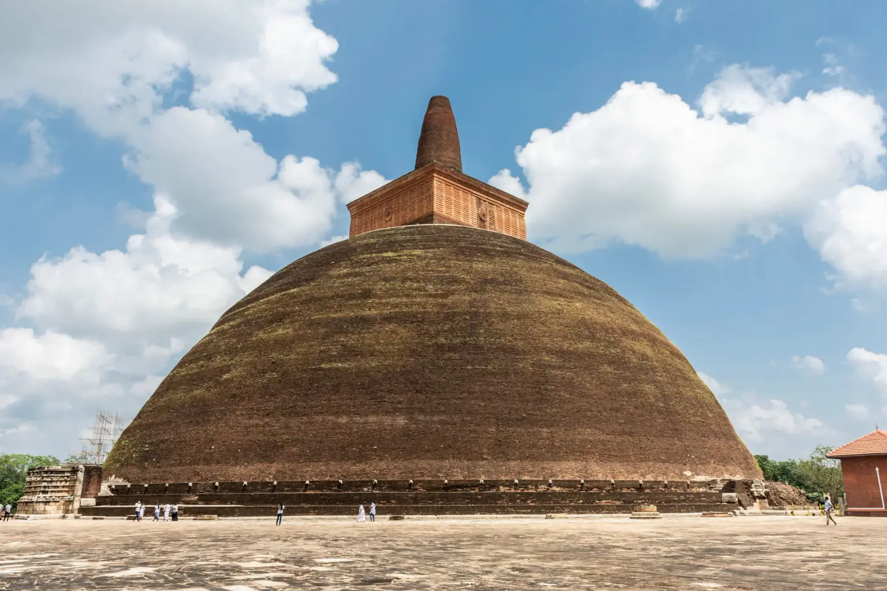
An active Buddhist pilgrimage and archaeological landscape near Anuradhapura, traditionally linked to Buddhism's arrival in Sri Lanka.
Ancient City of Sigiriya
A World Heritage property built across the slopes and summit of a granite peak used as King Kassapa I's capital.