Kitulgala
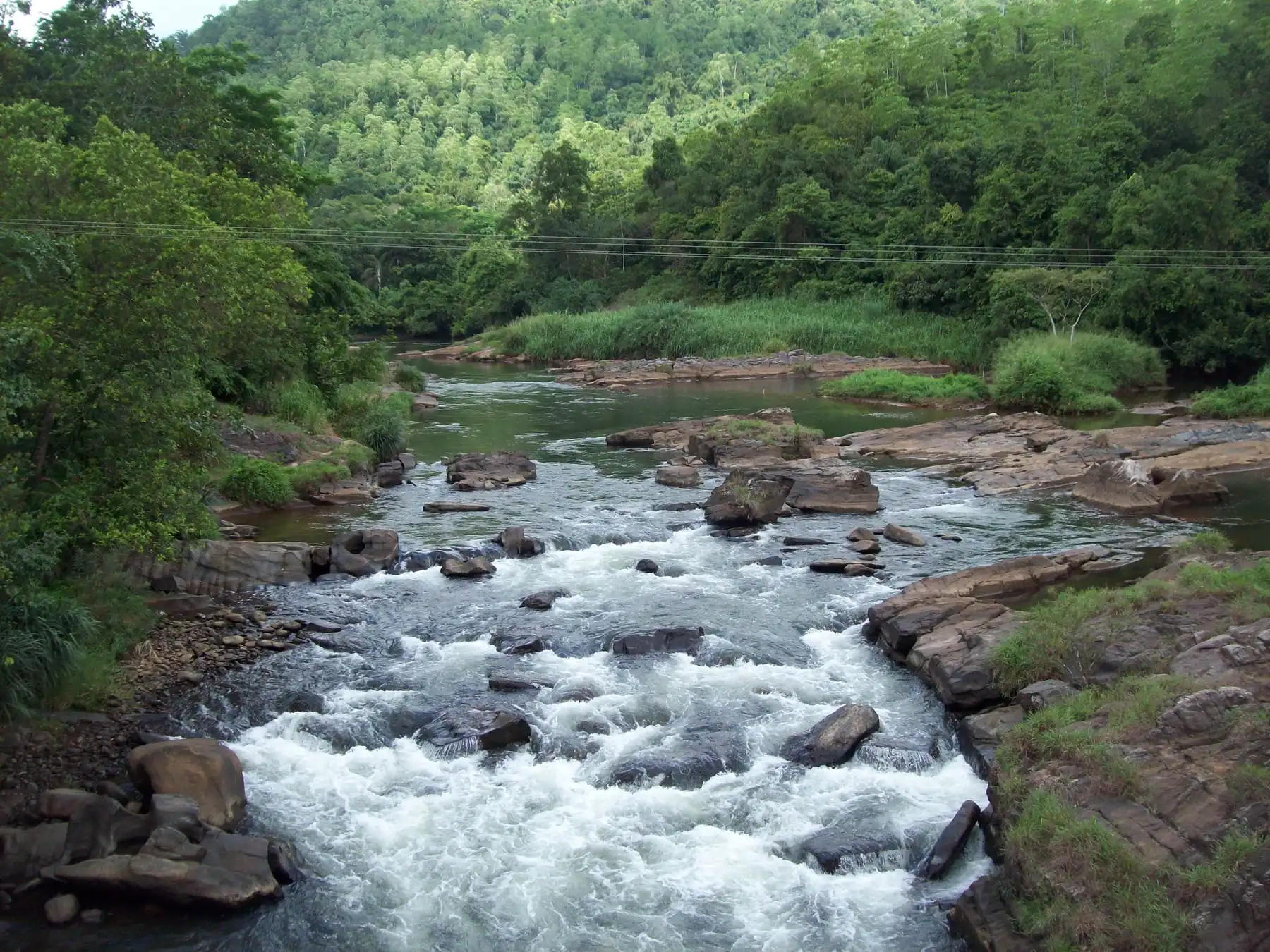
A riverside village on the Kelani River and the Colombo to Hatton road, known for white-water rafting and the prehistoric Belilena cave. About 88 km by road from Colombo, and a common stop on the way to Hatton, Sri Pada and Nuwara Eliya.
Is Kitulgala worth visiting?
Quick answer: Yes, if you want white-water rafting or a riverside break on the road into the hills. Kitulgala is a village on the Kelani River, about 88 km by road from Colombo. The provincial tourism office lists a rafting run of about 5 km with 9 rapids, for anyone above the age of 10. Check the landslide warning first in the October and November rains.
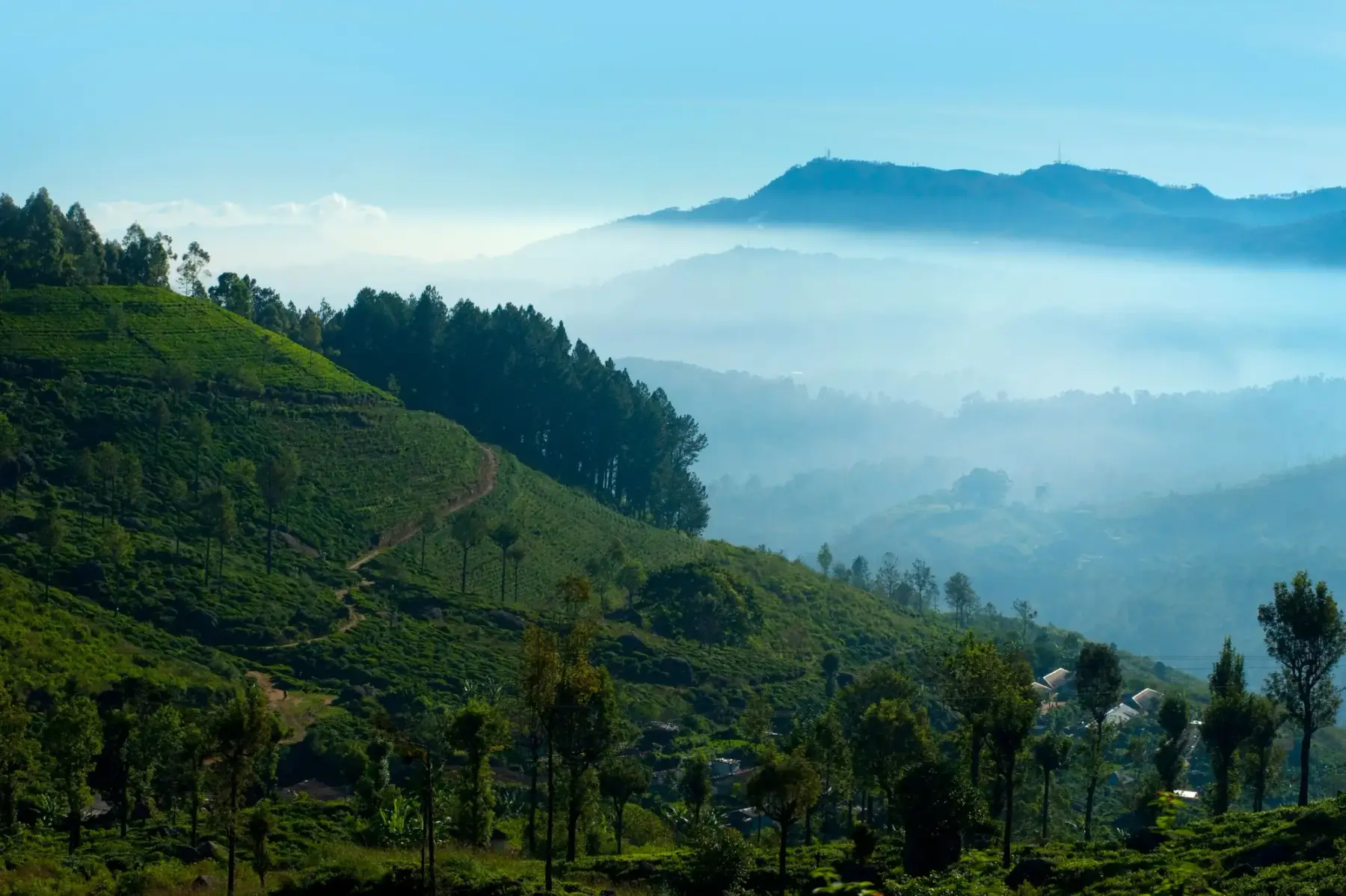
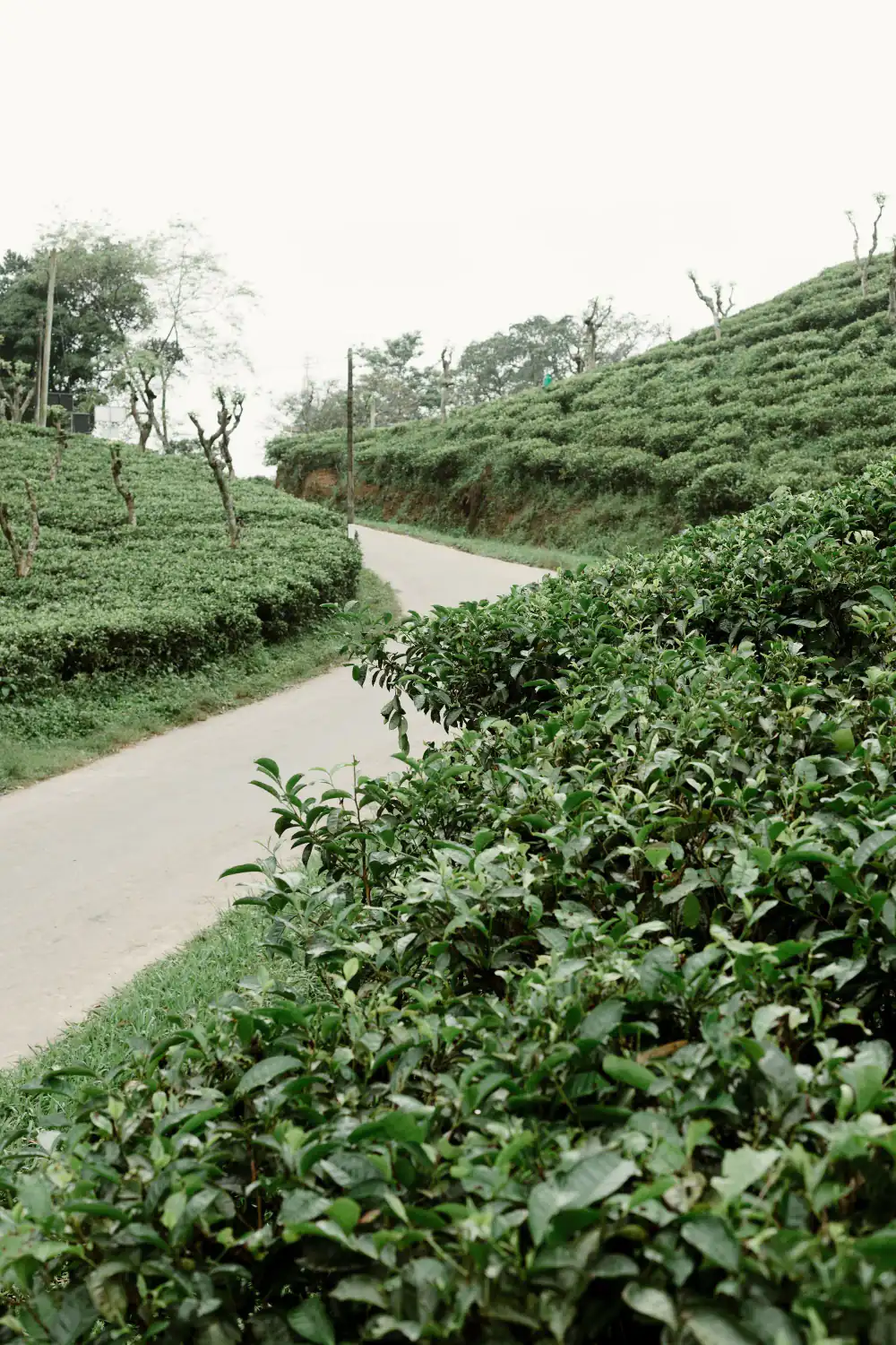
Kitulgala sits on the Colombo to Hatton road, so it works as a day trip from Colombo or as a stop on the way to Hatton, Adam's Peak (Sri Pada) or Nuwara Eliya. It is not a beach or a town with many sights. People come for the river, the forest and the cave.
Where is Kitulgala and how far is it?
Kitulgala is in Kegalle District, in Sabaragamuwa Province, on the Kelani River. These road distances come from an OpenStreetMap route we checked on 19 October 2026 (car, no traffic):
| From Kitulgala to | Road distance | Drive time, no traffic | Typical use |
|---|---|---|---|
| Hatton | 32.1 km | about 35 min | Base for Sri Pada |
| Avissawella | 40.8 km | about 46 min | Town on the Colombo road |
| Kandy | 59.5 km | about 1 h 12 min | Cultural triangle side |
| Nuwara Eliya | 69.2 km | about 1 h 17 min | Hill country base |
| Colombo Fort | 88.4 km | about 1 h 47 min | Day trip or first stop |
Real travel is slower. The road climbs into the hills with many bends and passes through busy towns, so add time, and more in rain.
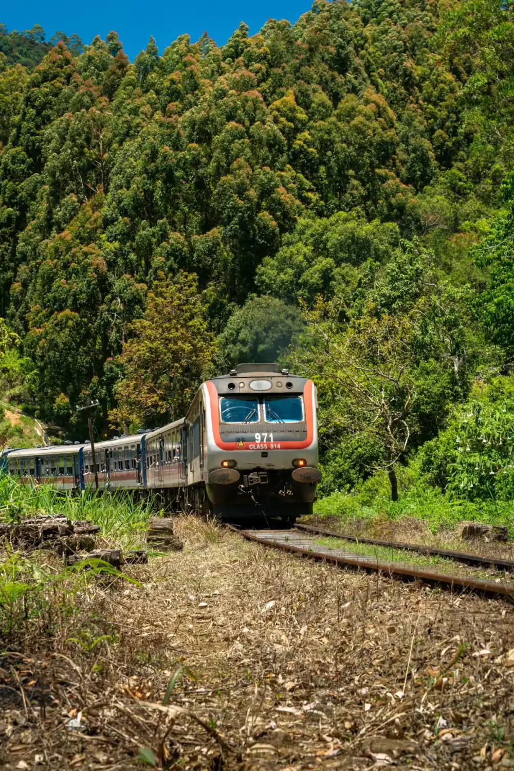
Is there a train? No. Kitulgala is not on the railway. The nearest main line station on this side is Hatton. In early October 2026 news reports quoting the railway, parts of the main line between Gampola and Nanu Oya were still under repair, so do not plan a train link here. Our getting around guide covers road options.
What is white-water rafting like in Kitulgala?
The Sabaragamuwa Provincial Council's tourism site describes rafting on the Kelani River at Kitulgala like this (SG Tourism, Kithulgala):
| Fact | What the provincial tourism site says |
|---|---|
| River | Kelani River |
| Rapids | 5 major and 4 minor |
| Distance | Around 5 km |
| Age | Anyone above the age of 10 |
We found no official price list for rafting on 19 October 2026, so we don't quote one. Prices vary by operator and group size.
Before you book, ask the operator:
- Is a helmet and life jacket included, and do they fit children?
- Is there a safety briefing in English before you get on the water?
- Is there a safety kayaker or a second boat?
- Will the trip run if the river is high after rain, and what is the refund if it is cancelled?
- What is the minimum age, and does it match the age above 10 given by the provincial tourism site?
Wear clothes that can get wet, and shoes that stay on your feet. Leave phones and cash in a dry bag or in your vehicle.
What is Belilena cave?
Belilena (also called Kitulgala Belilena) is one of Sri Lanka's best-known prehistoric caves. The provincial tourism site gives these facts (SG Tourism, Kithulgala Belilena):
- It sits about 624 m above sea level, close to the Kelani River.
- The Department of Archaeology excavated it from 1978 to 1983. Finds include stone tools and human remains linked to "Balangoda man", Sri Lanka's prehistoric people.
- The site says a woman known as "Kalu Menika" lived in the cave about 12,500 years ago, based on dating of her remains and burnt wild breadfruit seeds.
- The largest chamber is 18.7 m wide and 12.5 m high. A waterfall of 78 to 94 m falls over the cave in the rainy months.
- A long staircase of about 200 m leads down a gorge to the cave. The land belongs to the Department of Archaeology.
The site gives a route via a turn near the Inoya estate on the Hatton road, then 1 km to the right. Ask locally for the exact turn. The staircase is steep and slippery in rain, so wear good shoes.
When is the best time to visit Kitulgala?
We found no official month-by-month weather record for Kitulgala. The provincial tourism site says the waterfall at Belilena flows strongly through the rainy season, which it puts at about 8 months of the year. That tells you to expect rain on many days.
For Sri Pada pilgrims: Sri Lanka Tourism says the main climbing season for Adam's Peak runs from December to May, and that other months bring heavy rain, wind and mist (Sri Lanka Tourism, Sri Pada). If you combine Kitulgala with the climb, those months fit best. See our Adam's Peak guide.
Is it safe to visit Kitulgala now? (Checked 19 October 2026)
On 18 October 2026 the NBRI's landslide warning, valid from 6 pm that day to 6 pm on 19 October, put four divisions of Kegalle District at Level 2 (Amber): Yatiyanthota, Mawanella, Bulathkohupitiya and Aranayake. Five more Kegalle divisions were at Level 1 (Yellow) (landslide early warning, 18 October 2026). The provincial tourism site describes the road to Kitulgala as passing Yatiyanthota.
Level 2 means people in risky areas should be ready to move. For travellers, it means:
- Check the newest warning the night before.
- Avoid driving the hill road during or straight after very heavy rain.
- Ask your operator whether rafting is running. Do not go on the river on your own.
- Save the Sri Lanka Tourism 24-hour hotline, 1912, which the UK Foreign Office lists for travellers.
Our Is Sri Lanka safe guide has more on monsoon safety.
How do you fit Kitulgala into a trip?
| Plan | How it works | Good for |
|---|---|---|
| Day trip from Colombo | About 88 km each way by road. Leave early, raft in the morning, return by evening | A short stay in Colombo |
| Stop on the way to Hatton | Raft in the morning, drive 32 km on to Hatton for the night | Sri Pada climbers, Dec to May |
| Stop on the way to Nuwara Eliya | About 69 km on to Nuwara Eliya after lunch | Hill country routes by car |
| Overnight in Kitulgala | Stay by the river and visit Belilena early | Nature lovers, slower trips |
From Nuwara Eliya, the running hill railway from Nanu Oya continues to Haputale and Ella. Our Nanu Oya to Ella train guide has the latest status. For a family route that includes outdoor stops, see the Sri Lanka with kids 10-day itinerary.
Frequently asked questions
Where is Kitulgala?
Kitulgala is a village on the Kelani River in Kegalle District, Sabaragamuwa Province, on the road from Colombo to Hatton. On an OpenStreetMap route checked on 19 October 2026 it is about 88 km from Colombo Fort, 60 km from Kandy and 32 km from Hatton.
How long does it take to get from Colombo to Kitulgala?
About 88 km by road via Avissawella. An OpenStreetMap route checked on 19 October 2026 gives about 1 hour 47 minutes with no traffic. Real trips usually take longer because the road passes through towns and climbs into the hills, so plan on half a day there and back plus your activity.
How old do you have to be to go rafting in Kitulgala?
The Sabaragamuwa Provincial Council's tourism site says white-water rafting on the Kelani River at Kitulgala is for anyone above the age of 10. Operators may set their own rules, so confirm the age limit and swimming requirements when you book.
How long is the Kitulgala rafting route?
The Sabaragamuwa Provincial Council's tourism site says the run covers around 5 km of the Kelani River, with 5 major rapids and 4 minor ones. Ask your operator how long the trip takes on the day, as river levels change with rain.
What is Belilena cave in Kitulgala?
Belilena is a prehistoric cave near Kitulgala. The provincial tourism site says excavations by the Department of Archaeology from 1978 to 1983 found human remains, and that the cave was lived in about 12,500 years ago. The largest chamber is 18.7 m wide and 12.5 m high, reached by a 200 m staircase.
Can you visit Kitulgala on a day trip from Colombo?
Yes, it is about 88 km each way by road, so a day trip works if you leave early. Many travellers stop on the way between Colombo and Hatton or Nuwara Eliya instead, since Kitulgala is on that road. Hatton is about 32 km further on and Nuwara Eliya about 69 km.
Is it safe to go to Kitulgala in the rainy season?
Check the landslide warning and the river first. On 18 October 2026 the NBRI landslide warning put Yatiyanthota, on the road to Kitulgala, at Level 2 (Amber). After heavy rain, ask your rafting operator if trips are running and avoid steep paths.
Is there a train to Kitulgala?
No. Kitulgala is not on the railway. The nearest main line station on the Hatton side is Hatton, about 32 km by road, but trains between Gampola and Nanu Oya were still affected by repairs in October 2026 reports. Plan to travel by road.
Sources
Last verified 2026-10-19
- https://tourism.sg.gov.lk/kithulgala/
- https://tourism.sg.gov.lk/white-water-rafting/
- https://tourism.sg.gov.lk/kithulgala-belilena/
- https://www.dmc.gov.lk/images/dmcreports/Landslide_EW_Report_at_1800hrs_on_2026__1792328311.pdf
- https://www.srilanka.travel/sri-pada
- https://www.gov.uk/foreign-travel-advice/sri-lanka/warnings-and-insurance
- https://www.railway.gov.lk/web/images/pdf/Ticket_Price_Line/main_line/1_fot.pdf
- https://www.openstreetmap.org/
Plan your Kitulgala trip
Sri Lanka with Children
Plan Sri Lanka with children by limiting transfer load, checking age and safety rules, and keeping weather-dependent alternatives.