Colombo Airport to Arugam Bay
Colombo airport to Arugam Bay distance: about 319 to 324 km on two road samples, the airport's fixed-fare card rates of Rs 47,950 and Rs 47,304, NTC route 98-4 fares and when to break the journey. Checked 28 October 2026.

How far is Arugam Bay from Colombo airport? (Checked 28 October 2026)
Quick answer: About 319 to 324 km by road, one of the longest airport transfers in Sri Lanka, and 5 hours 50 minutes to 6 hours 7 minutes with no traffic on the two OpenStreetMap routes we sampled on 28 October 2026. The airport's fixed-fare card, read the same day, lists ARUGAM BAY at Rs 47,950 and POTHUVIL at Rs 47,304 for the air-conditioned taxi. The cheapest option is a bus from Colombo: NTC route 98-4 to Pottuvil costs Rs 1,450 normal.
Our Arugam Bay to Colombo guide already covers the trip in the other direction, with NTC bus rows and distances to Colombo Fort. This page is about the first day: you have just landed, you are tired, and the bay is a long way off.
| Option | Price | Time | Source |
|---|---|---|---|
| Airport taxi counter, air-conditioned (ARUGAM BAY) | Rs 47,950 | About 5 h 50 min to 6 h 7 min with no traffic (our OSRM samples) | Airport Taxi Service page |
| Airport taxi counter, air-conditioned (POTHUVIL) | Rs 47,304 | Similar, to the town beside the bay | Same page |
| Bus 187 to Colombo Fort, then NTC route 98-4 to Pottuvil | Rs 325 plus Rs 1,450 normal or Rs 2,175 semi-luxury | Not listed in the tables | Airport luxury bus page and NTC fare table |
| Uber or PickMe | Shown in the app | Check in the app | Airport transport page |
What do the two road routes look like?
We sampled two routes from the airport to Arugam Bay.
| Sample | Distance | Time with no traffic |
|---|---|---|
| Route 1 | 319.1 km | About 5 h 50 min |
| Route 2 | 323.8 km | About 6 h 7 min |
Route 1 is shorter and quicker by 17 minutes. It uses local roads and the B408 and B445 to reach Ratnapura, then about 257 km of the A4 through Wellawaya to Pottuvil. Route 2 is a different road altogether. It takes the Central Expressway (E04), the Kurunegala to Kandy road (A10), then back roads past Mahiyangana and Bibile, and joins the A4 only for the last 61 km. The two are close in length, 4.7 km apart, but they pass through different districts. A driver may choose neither.
One thing to know when you compare pages: the map gave different distances for the same road depending on which way we asked. In our Arugam Bay to Colombo guide, the drive from the bay to the airport was 342 km at about 5 hours 49 minutes. In the direction on this page, the best sample is 319.1 km at 5 hours 50 minutes. The time barely changed. The difference comes from how the routing tool joins local roads at each end, and we do not claim either is the true length. Treat both as "about 320 to 340 km".
The Government's Kumana National Park profile, cited in our Arugam Bay to Colombo guide, names the long road from Colombo through Ratnapura, Udawalawe, Wellawaya and Monaragala. We use that only as an outline of the usual approach, not as the path any driver will take. Our Sri Lanka map and distances guide puts the island's main road legs side by side.
What does the airport taxi card say about Arugam Bay?
On the AASL fixed-fare card, as read on 28 October 2026, there are two lines that matter: ARUGAM BAY at Rs 47,950 and POTHUVIL at Rs 47,304 for the air-conditioned taxi. The Rs 646 difference is on the card. We do not know the reason. The card shows no last-updated date, does not say how many passengers or bags a rate covers, and does not say if expressway tolls are included. The airport page adds two charges: Rs 130 for each extra kilometre beyond the destination you asked for, and Rs 300 for each extra drop within the agreed journey.
The card has lines for several towns you could pass on the way, which show how the rate rises with distance.
| Card line | Rate (air-conditioned) |
|---|---|
| ELLA | Rs 36,030 |
| WELLAWAYA | Rs 38,016 |
| BADULLA | Rs 39,852 |
| MONARAGALA | Rs 42,120 |
| POTHUVIL | Rs 47,304 |
| ARUGAM BAY | Rs 47,950 |
| AMPARA | Rs 49,464 |
On our route 1 distance, Rs 47,950 over 319.1 km is about Rs 150 for each kilometre. That is our arithmetic, not a rate the airport publishes. The card does not say if a rate is for the whole car or per passenger, so confirm that with the counter before you pay.
Is there a bus from Colombo airport to Arugam Bay?
We found no direct airport bus. The airport lists bus 187 to Colombo Fort (Rs 325 a person, about 50 minutes, 24 hours a day, boarding at the Departure Terminal Outer Porch). From Colombo, the NTC fare table lists route 98-4, Colombo to Pottuvil, the town beside Arugam Bay.
| NTC route | From and to | Normal | Semi-luxury |
|---|---|---|---|
| 98-4 | Colombo to Pottuvil | Rs 1,450 | Rs 2,175 |
Adding the first leg gives Rs 1,775 on normal buses and Rs 2,500 on the semi-luxury fare. That sum is our arithmetic. The table lists route ends only, with no stops and no times. Our Arugam Bay to Colombo guide explains what the tables leave out, including whether a bus stops at the bay or only at Pottuvil. Ask that question before you board. We found no official timetable and no seat reservation source for this route.
Should you go straight to the bay or break the journey?
For most people landing in Colombo, a break is the easier plan. A six-hour road after a long flight is more tiring than the numbers suggest. Route 1 uses the A4 for most of the way. Our south coast to Ella transport guide explains the road to the hills, and our Arugam Bay to Ella guide covers the next leg east.
| If this is you | Pick | Why |
|---|---|---|
| You land in the morning and the surf is the point | Taxi straight through | About 5 h 50 min with no traffic, plus stops |
| You land at night | Sleep near the airport first | Our Negombo guide covers the closest beach town |
| You want to see the hills first | Break at Ella or Wellawaya | Both are lines on the card, at Rs 36,030 and Rs 38,016 |
| You are on a tight budget | Bus 187, then route 98-4 | Rs 1,775 on normal buses by our sum |
Is October or November a good time to go?
Our Arugam Bay destination page, checked on 16 October 2026, cites Sri Lanka Tourism for a surf season of April to October and the driest months of May to September. It also cites Department of Meteorology district averages for Ampara of 192.8 mm in October, 315.4 mm in November and 326.7 mm in December (1991 to 2020). Mid-October is the tail of the surf season, as that page says. A late-October or November arrival is more likely to meet rain than a June arrival. If surf is the plan, read our surf lessons and gear guide and our Arugam Bay destination page before you book.
What should you ask before you book the Arugam Bay transfer?
- Pottuvil or the bay? The card has two lines. Name your exact place.
- Passengers and bags. The card does not say how many people or bags the rate covers.
- Tolls. The card does not say if expressway tolls are included.
- Stops. Ask if a meal stop and a stop in the hills are allowed, and if waiting time is charged.
- Return. The card is for the airport counter. It does not say if it applies on a trip to the airport.
What is the weather and landslide check for this route? (Checked 28 October 2026)
- Landslide warning: the National Building Research Organisation (NBRO) landslide early warning LEWM-27-10-2026-1600-34, published by the Disaster Management Centre, is valid from 16:00 on 27 October to 16:00 on 28 October 2026. It puts Level 3 (Red) on Openayake, Ayagama, Kuruwita, Ratnapura, Pelmadulla and Elapatha in Ratnapura district, and on Norwood and Ambagamuwa Korale in Nuwara Eliya district. It puts Level 2 (Amber) on Godakawela, Eheliyagoda, Nivithigala, Kalawana, Kiriella and Balangoda in Ratnapura district, on eleven areas of Kegalle district and on five areas of Kandy district. Our first route uses the A4 through Ratnapura district and our second passes through Kandy district, going by the road names OSRM returned. The warning lists no district in the Uva or Eastern provinces.
- Forecast: the Department of Meteorology forecast issued at 5.30 am on 28 October 2026 said the influence of cyclone Arnab on Sri Lanka's weather has gradually weakened as the storm makes landfall in Andhra Pradesh, India. It expected several spells of showers in the Western and Sabaragamuwa provinces and in Kandy and Nuwara Eliya districts, showers or thundershowers at a few places in Uva Province and in Batticaloa and Ampara districts after 1 pm, and strong winds of about 40 to 50 kmph at times on the western slopes of the Central hills and in Hambantota district.
- What to do: call 117, the Disaster Management Centre hotline, and check the Department of Meteorology bulletin before you leave and again at your first stop. Our Sri Lanka monsoon seasons guide explains the wider pattern.
If a warning applies on your travel day, tell your driver, ask for a daylight arrival, and be ready to change the plan. A short delay costs less than a risky road.
Frequently asked questions
How far is Arugam Bay from Colombo airport?
About 319 to 324 km by road. On two OpenStreetMap routes (OSRM) sampled on 28 October 2026, the drive from Bandaranaike International Airport to Arugam Bay was 319.1 km and about 5 hours 50 minutes on one, and 323.8 km and about 6 hours 7 minutes on the other, both with no traffic. Our Arugam Bay to Colombo guide gave 342 km in the other direction, because the routing tool joins local roads differently at each end. Real trips take longer.
How much is a taxi from Colombo airport to Arugam Bay?
On the airport's fixed-fare card as read on 28 October 2026, ARUGAM BAY is Rs 47,950 and POTHUVIL is Rs 47,304 for the air-conditioned taxi. The card shows no last-updated date, does not say how many passengers or bags the rate covers, and does not say if tolls are included. Confirm the total at the counter.
Is there a bus from Colombo airport to Arugam Bay?
We found no direct airport bus. A two-leg trip is possible: bus 187 from the airport to Colombo Fort at Rs 325, then National Transport Commission route 98-4 from Colombo to Pottuvil at Rs 1,450 normal or Rs 2,175 semi-luxury, as listed for 6 July 2026. Pottuvil is the town beside the bay. The tables give no timetable or stops, so ask whether the bus stops at the bay.
Should I go straight to Arugam Bay after landing?
Only if you land in the morning and feel fit. The road is about 5 hours 50 minutes with no traffic on our sample, and a night near the airport or a break in the hills makes it easier. Our Negombo, south coast to Ella and Arugam Bay to Ella pages explain the options.
Is it a good time to go to Arugam Bay in late October?
It is the tail of the surf season. Our Arugam Bay page, citing Sri Lanka Tourism, gives April to October for surf and May to September as the driest months, and Department of Meteorology averages for Ampara of 192.8 mm of rain in October and 315.4 mm in November.
Is the road to Arugam Bay safe after the recent rain?
We cannot confirm road status. The NBRO landslide warning valid until 4 pm on 28 October 2026 put Level 3 (Red) on six areas of Ratnapura district, which the A4 crosses, and listed no Uva or Eastern Province district, and the Met Department forecast showers in Sabaragamuwa and after 1 pm in Uva and Ampara. Call 117 and check the latest bulletins on the day of travel.
Sources
Last verified 2026-10-28
- https://www.airport.lk/passenger_guide/getting_arround/taxi_service
- https://www.airport.lk/passenger_guide/getting_arround/taxi_query
- https://www.airport.lk/passenger_guide/getting_arround/luxury_bus_service
- https://www.airport.lk/passenger_guide/getting_arround/to_&_from_airport
- https://ntc.gov.lk/bus_fare/2026/July/Inter%20Provincial%20Full%20Bus%20Fare.pdf
- http://www.dmc.gov.lk/index_english.htm
- https://www.dmc.gov.lk/images/dmcreports/Landslide_EW_Report_at_1600hrs_on_2026__1793098165.pdf
- https://www.dmc.gov.lk/images/dmcreports/__1793147947.pdf
- https://nominatim.openstreetmap.org/
- https://router.project-osrm.org/
- https://www.openstreetmap.org/
Covered in this guide
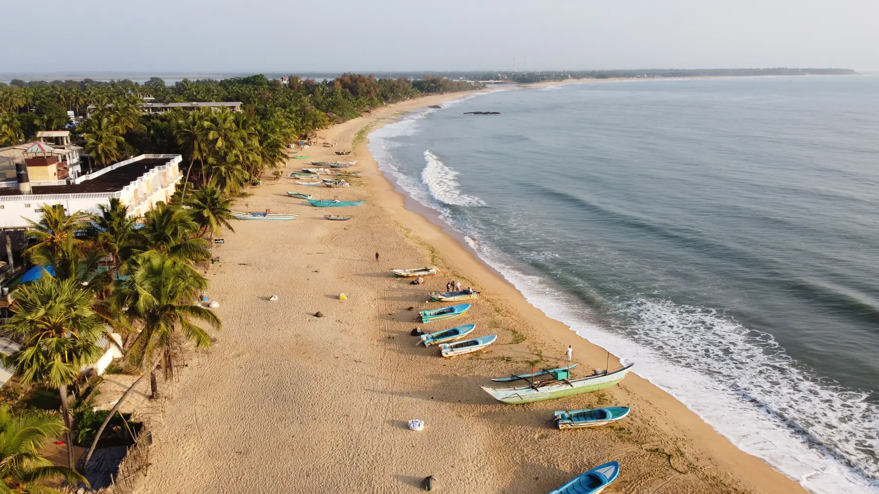
Arugam Bay
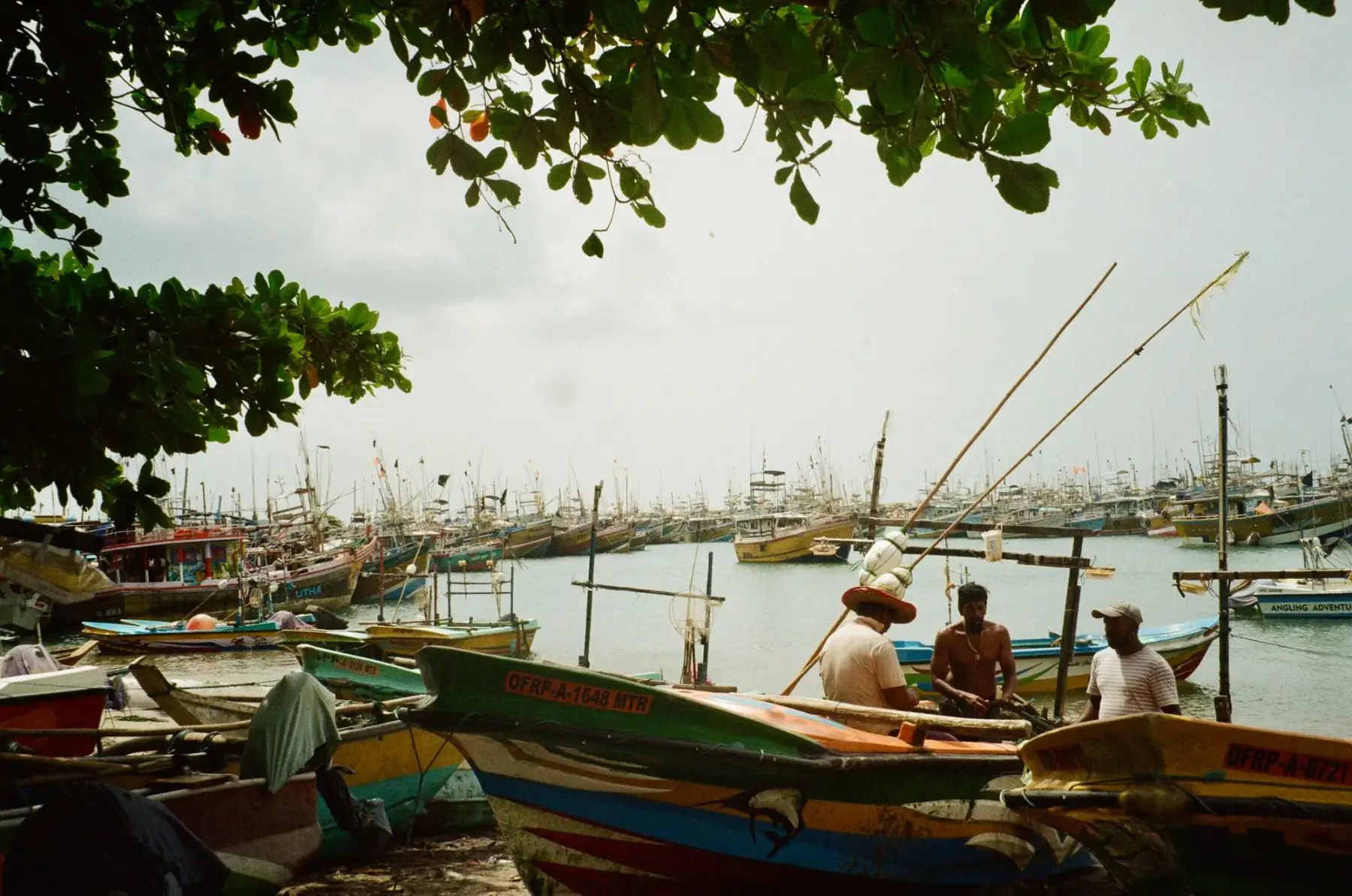
Negombo
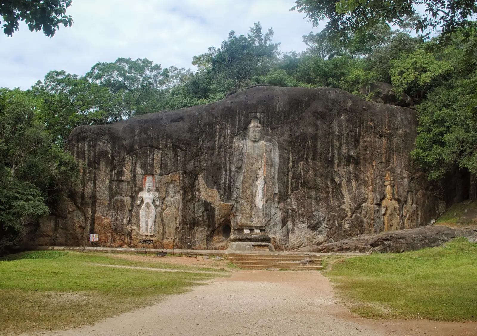
Wellawaya
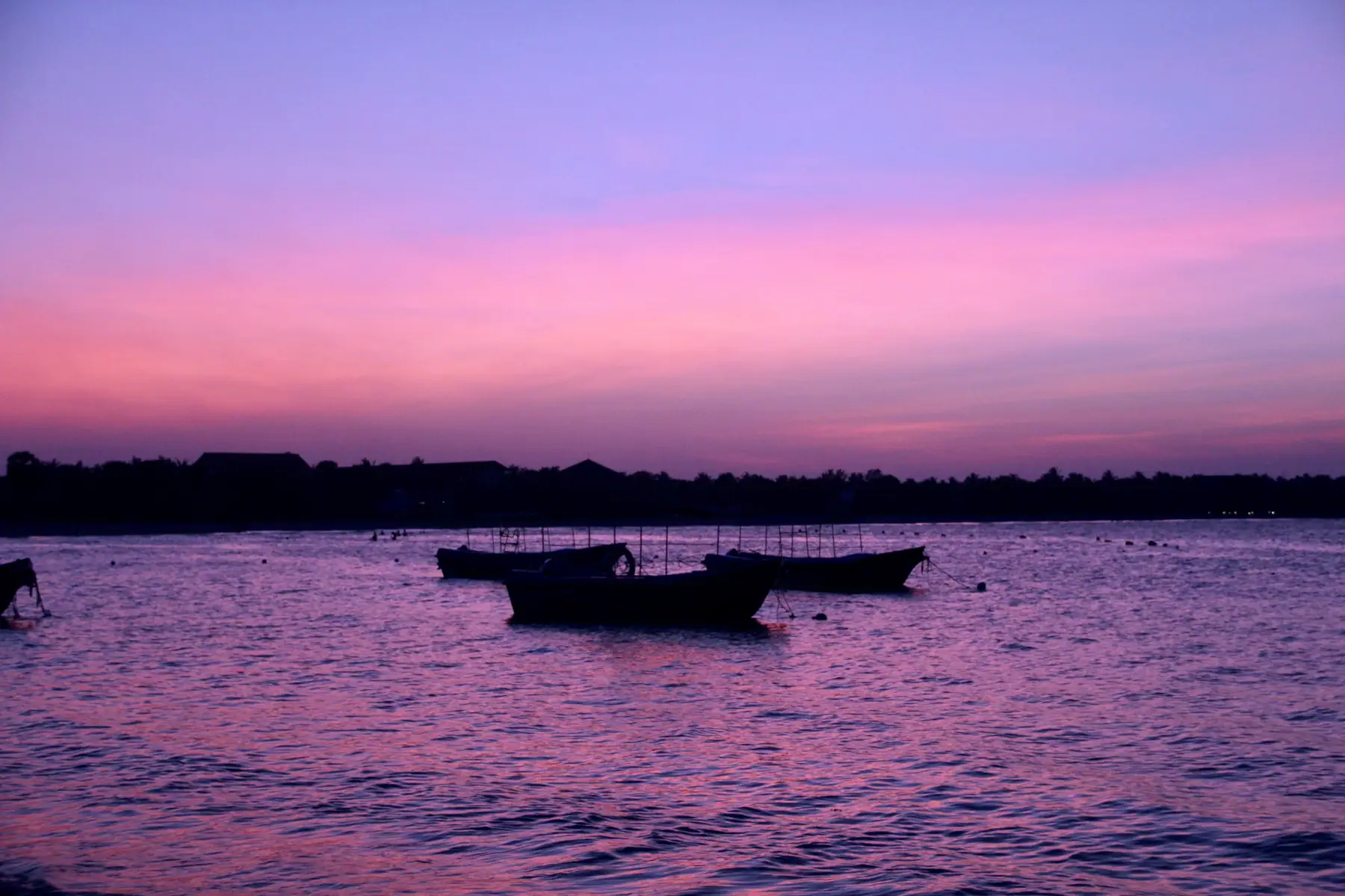
East Coast

Arugam Bay to Ella: how to get there

Colombo airport arrival guide


Related guides
All guides
Ella to Colombo Airport
Ella to Colombo airport: about 206 to 229 km by road, the time to allow before a flight using the airport's 4 hour rule, NTC bus rows and a dated weather check. Checked 28 October 2026.

Colombo Airport to Ahangama
Colombo airport to Ahangama taxi price: the airport's fixed-fare card rate of Rs 27,432, about 165 km by expressway, and two bus plans from the airport and NTC fares. Checked 28 October 2026.

Colombo Airport to Ella
Colombo airport to Ella by road: our 206 km route sample, the airport's fixed-fare card rate of Rs 36,030, bus fares to Badulla and the hill-country weather check. Checked 27 October 2026.