Ella Altitude and Hill Country Heights: What to Expect
How high Ella is, how that compares with Nuwara Eliya, Kandy and Horton Plains, and what height means for temperature, rain and packing. Checked 24 October 2026.

How high is Ella, and how does it compare with other hill towns?
Quick answer: Ella is about 1,041 m above sea level. Nuwara Eliya is higher, at about 1,868 m, Horton Plains is higher still at about 2,100 m, and Kandy is much lower at about 500 m. Every step up the hills is cooler, so Ella is pleasantly mild, Nuwara Eliya is properly cool, and Horton Plains is the coldest and windiest place in the country. Rain does not follow height in a simple way, as the weather tables below show.
Our Ella destination guide covers what to do and how to get there. This page is a short height and climate reference that answers the question people type into search: how high is Ella, and what does that mean for the weather.
How high is each hill-country place?
| Place | Height above sea level | Source |
|---|---|---|
| Colombo | 7 m (weather station) | WMO normals, NOAA archive |
| Galle | 13 m (weather station) | WMO normals, NOAA archive |
| Kandy | 500 m | Wikipedia, Kandy |
| Ella | 1,041 m | Wikipedia, Ella, and Visit Uva |
| Bandarawela | 1,226 m (weather station) | WMO normals; Visit Uva puts the town at about 1,230 m |
| Haputale | 1,431 m | Wikipedia, Haputale |
| Nuwara Eliya | 1,868 m | Wikipedia, Nuwara Eliya (the weather station is at 1,894 m) |
| Horton Plains plateau | about 2,100 m | Central Province Tourism Department; other official sources say 2,100 to 2,300 m |
| Pidurutalagala, the highest point | 2,524 m | Wikipedia, Pidurutalagala |
Two notes. First, town heights depend on which point you measure, so figures differ a little between sources: a GeoNames record, for example, gives Ella at about 1,031 m. Treat all of these as approximate. Second, our Haputale guide puts the Haputale Gap viewpoint at about 1,400 m, citing Visit Uva.
What does that height do to the temperature?
It cools it. These are the 1991 to 2020 annual averages from the stations closest to Colombo, Kandy, Ella and Nuwara Eliya. Ella has no weather station of its own, so we use Bandarawela, about 12 km away by road.
| Station (height) | Mean daily high | Mean daily low | Mean temperature | Annual rain |
|---|---|---|---|---|
| Colombo (7 m) | 31.0 C | 24.9 C | 27.9 C | 2,397 mm |
| Katugastota, near Kandy (477 m) | 29.4 C | 20.6 C | 25.0 C | 1,836 mm |
| Bandarawela, near Ella (1,226 m) | 25.3 C | 16.7 C | 21.0 C | 2,106 mm |
| Nuwara Eliya (1,894 m) | 20.2 C | 12.2 C | 16.2 C | 1,838 mm |
From the coast to Nuwara Eliya, the mean temperature falls by about 11.7 C. The step from Kandy to Bandarawela is about 4 C, and from Bandarawela to Nuwara Eliya another 4.8 C. Our Ella versus Nuwara Eliya guide says the Ella side is about 4 to 7 C warmer than Nuwara Eliya by day all year.
The coldest nights in the record are at Nuwara Eliya. The station's lowest daily minimum in the normals period was 2.0 C in February, with 2.1 C in January and 2.6 C in December. At Bandarawela the lowest was 8.6 C, in January, February and December. Wikipedia's geography page says frost may occur for several days in winter at Nuwara Eliya.
What does it mean for rain?
Height changes temperature predictably. Rain depends on which monsoon is blowing and which side of the hills you are on, so the pattern is more mixed. The Bandarawela side, the Ella side, is the drier choice in June to August, and Nuwara Eliya is drier in January to March.
| Month | Nuwara Eliya rain | Bandarawela rain |
|---|---|---|
| January | 115.6 mm | 153.0 mm |
| February | 72.7 mm | 96.4 mm |
| March | 72.2 mm | 137.6 mm |
| June | 168.3 mm | 90.5 mm |
| July | 155.0 mm | 71.2 mm |
| August | 132.4 mm | 67.8 mm |
| October | 246.6 mm | 347.1 mm |
| November | 226.4 mm | 338.1 mm |
These rows are reused from our Ella versus Nuwara Eliya guide, where they were checked on 19 October 2026. October and November are wet in both. For the full monsoon explanation, see our Sri Lanka monsoon seasons guide, and for month by month advice, our best time to visit guide.
What is the weather like this week in the hills?
This is time-sensitive. The Department of Meteorology said on 23 October that rain would continue in the south-west of the island until 27 October, and that showers or thundershowers were forecast in the Central Province on 24 October, with misty conditions in parts of the Central and Uva provinces in the early morning (Colombo Tribune, 23 October 2026). A landslide near Kadigamuwa has suspended trains between Rambukkana, Peradeniya and Gampola on 24 and 25 October. Our Kandy to Ella train vs road guide covers the road fallback. We found no official statement on Nanu Oya to Ella trains for those days, so check before you travel.
Height also means mist and cloud. Early morning mist is common at viewpoints, which is why many hill-country guides suggest early starts. Our Haputale guide quotes Visit Uva that mist often rolls in later in the morning.
What should you pack for each height?
Packing is practical advice, not a sourced rule, and our what to wear guide says to check the forecast for each stop because the needed warmth depends on date, hour and elevation. As a rough guide from the temperature table:
| Place | Layers to think about |
|---|---|
| Kandy | Light clothes and rain protection; evenings are mild |
| Ella and Bandarawela | A light layer for mornings and evenings, and rain protection |
| Haputale | One step cooler than Ella, with mist at viewpoints |
| Nuwara Eliya | A proper warm layer, as nights average 12.2 C and can fall much lower |
| Horton Plains | The warmest layers you have, plus wind and rain protection |
For Horton Plains, the Sri Lanka Biodiversity site says the average temperature in the park is usually around 15 C and that a short dry spell is sometimes seen between January and March. It also says the climate is mostly rainy. Our Horton Plains page and World's End page cover access, rules and early starts. Confirm tickets, opening hours and weather with the park authority before you go.
How should the height change your plan?
- Pick Ella for mild weather and Nuwara Eliya for cool weather. The Ella versus Nuwara Eliya guide compares the two for walking, trains and stays.
- Expect the temperature to change as you climb. A day from the coast to Nuwara Eliya takes you from about 28 C average to about 16 C average on the station data.
- Start early. Mist can hide views, and our Haputale guide quotes Visit Uva that it often rolls in later in the morning. We have no sourced hourly weather data.
- Allow time for the road. Hill roads are slow in rain. Our Kandy to Ella by road guide has sample times.
- Check warnings. The National Building Research Organisation's landslide warnings and the Disaster Management Centre's notices matter more in the hills when rain is heavy.
What this page does not do
- It does not rate hill towns or tell you where to stay.
- It does not claim a safe or unsafe road or walk on any date. Check current notices.
- It does not give medical advice about altitude. We found no Sri Lankan source on it.
Frequently asked questions
How high is Ella above sea level?
About 1,041 m (3,415 ft). Wikipedia and the Uva Province tourism site (Visit Uva) both give that figure for the town. A GeoNames record lists about 1,031 m from satellite data, so treat the exact number as approximate and the height as roughly 1,000 m.
How high is Nuwara Eliya?
Wikipedia gives the town as 1,868 m. The Department of Meteorology's weather station at Nuwara Eliya, used in the WMO 1991 to 2020 normals, is listed at 1,894 m. Either way it is about 800 m higher than Ella, which is why the weather feels so different.
Is Ella cold?
It is cool, not cold. At Bandarawela, the nearest weather station about 12 km away at 1,226 m, average daily highs run from 22.7 to 27.0 C and average lows from 14.9 to 18.1 C across the year (WMO 1991 to 2020). Mornings and evenings are cooler, so bring a light layer. Ella sits about 185 m lower than Bandarawela, so it is likely to be a little warmer, though we have no Ella station to confirm that.
How high is Kandy?
Wikipedia gives Kandy as 500 m. The Katugastota weather station near the city is at 477 m. It is much lower than Ella, with a mean annual temperature of 25.0 C at that station, against 21.0 C at Bandarawela.
How high is Horton Plains?
About 2,100 m. The Central Province Tourism Department gives 2,100 m for the plateau and calls it the coldest and windiest location in the country. Other official sources give a range of 2,100 to 2,300 m. See our Horton Plains page for access and rules.
What is the highest point in Sri Lanka?
Pidurutalagala, at 2,524 m, according to Wikipedia's geography entry for Sri Lanka. It is in the Nuwara Eliya area. Horton Plains is the highest plateau, but not the highest summit.
Do I need to worry about altitude sickness in Ella or Nuwara Eliya?
We found no source describing altitude illness in Sri Lanka's hill country, and these towns are around 1,000 to 1,900 m, so we make no claim either way. If you have a heart or lung condition, ask your doctor before you travel. This is general advice, not a medical statement.
What should I pack for the hill country?
A light warm layer and rain protection for Ella and Bandarawela, and a warmer layer for Nuwara Eliya and Horton Plains, where nights are much cooler. Our what-to-wear guide says to check the forecast for each stop, because the needed warmth depends on the date, the hour and the elevation.
Sources
Last verified 2026-10-27
- https://en.wikipedia.org/wiki/Ella,_Sri_Lanka
- https://visituva.lk/zone/ella
- https://www.geonames.org/1247148/ella-town.html
- https://en.wikipedia.org/wiki/Nuwara_Eliya
- https://en.wikipedia.org/wiki/Kandy
- https://en.wikipedia.org/wiki/Haputale
- https://en.wikipedia.org/wiki/Pidurutalagala
- https://en.wikipedia.org/wiki/Geography_of_Sri_Lanka
- https://tourism.cp.gov.lk/en/horton-plains
- https://lk.chm-cbd.net/protected-areas/horton-plains-national-park
- http://www.env.gov.lk/web/images/WFRCD/15_-_Horton_Plain_National_Park.pdf
- https://www.ncei.noaa.gov/data/oceans/archive/arc0216/0253808/2.2/data/0-data/Region-2-WMO-Normals-9120/SriLanka/CSV/
- https://colombotribune.com/rain-to-continue-in-south-west-until-27-october-rambukkana-gampola-trains-suspended-after-landslide/
- https://newswire.lk/2026/10/25/heavy-rain-warning-issued-for-several-provinces-and-districts/
- https://www.newswire.lk/2026/10/23/train-services-suspended-between-rambukkana-peradeniya-and-gampola-for-two-days/
- https://www.newswire.lk/2026/10/25/train-services-between-rambukkana-peradeniya-and-gampola-suspended-until-further-notice/
- https://www.dailymirror.lk/breaking-news/Train-services-between-Rambukkana-Gampola-suspended-until-further-notice/108-353358
- https://island.lk/showers-above-100-mm-are-likely-at-some-places-in-the-northern-western-sabaragamuwa-southern-north-western-central-and-north-central-provinces-and-in-trincomalee-district/
- https://www.dmc.gov.lk/images/dmcreports/Advisory_for_Heavy_Rain_at_0330_hrs_on_2026__1792968291.pdf
- https://www.dmc.gov.lk/images/dmcreports/Landslide_EW_Report_at_2200hrs_on_2026__1792950045.pdf
- https://adaderana.lk/news/250536
- https://www.dmc.gov.lk/images/dmcreports/Landslide_EW_Report_at_1445hrs_on_2026__1793007485.pdf
- https://www.dmc.gov.lk/images/dmcreports/Landslide_EW_Report_at_1800hrs_on_2026__1793018981.pdf
- https://www.dmc.gov.lk/images/dmcreports/Landslide_EW_Report_at_1600hrs_on_2026__1793098165.pdf
- https://www.dmc.gov.lk/images/dmcreports/Weather_Report_at_1600_hrs_on_2026__1793011605.pdf
- https://x.com/NewsWireLK/status/2114678378154320100
- https://www.dailymirror.lk/print/breaking-news/Arnab-intensifies-Heavy-rain-strong-winds-to-hit-several-areas/108-353451
- https://www.dmc.gov.lk/images/dmcreports/Weather_Report_at_0530_hrs_on_2026__1793071609.pdf
Covered in this guide
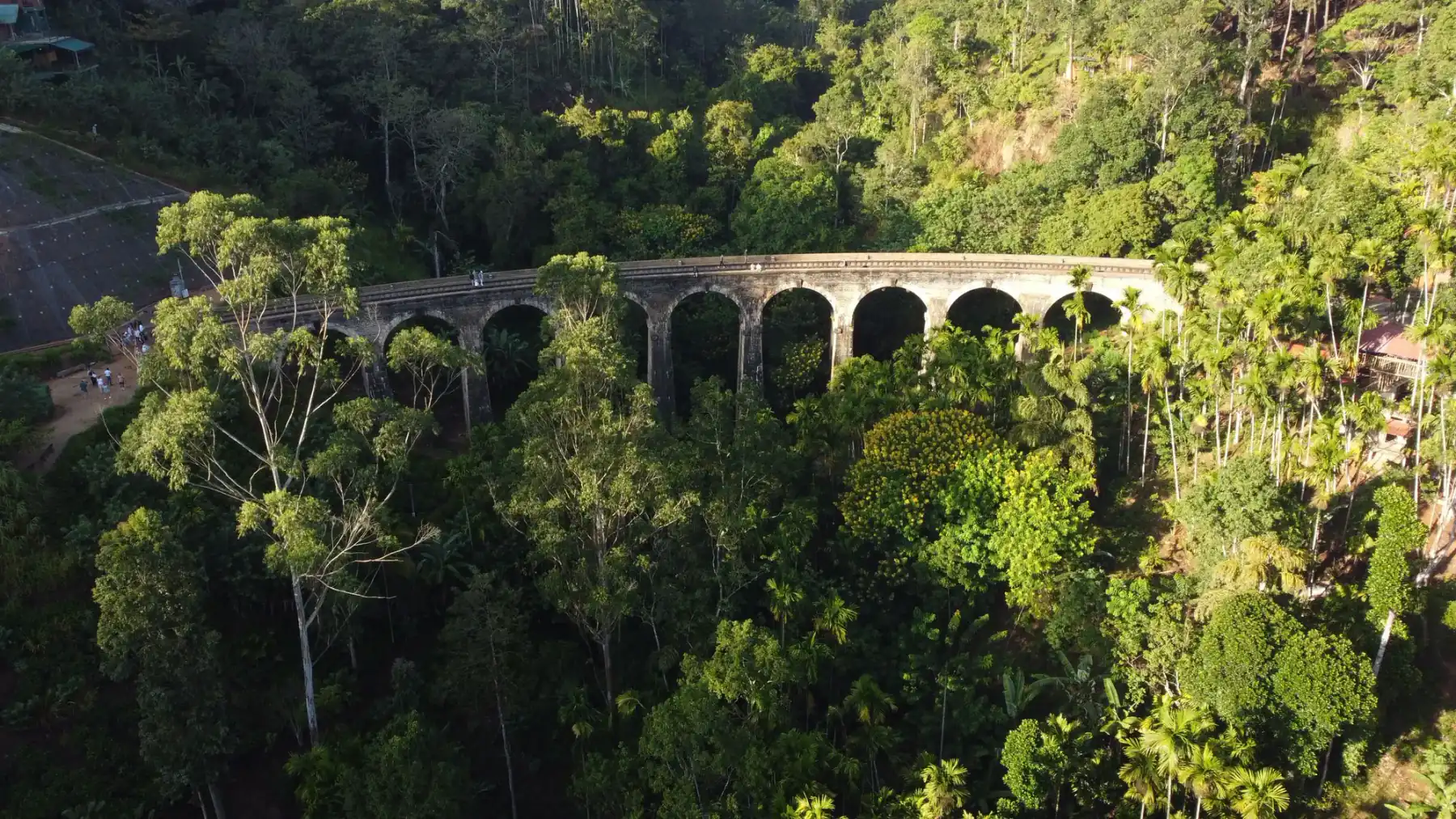
Ella
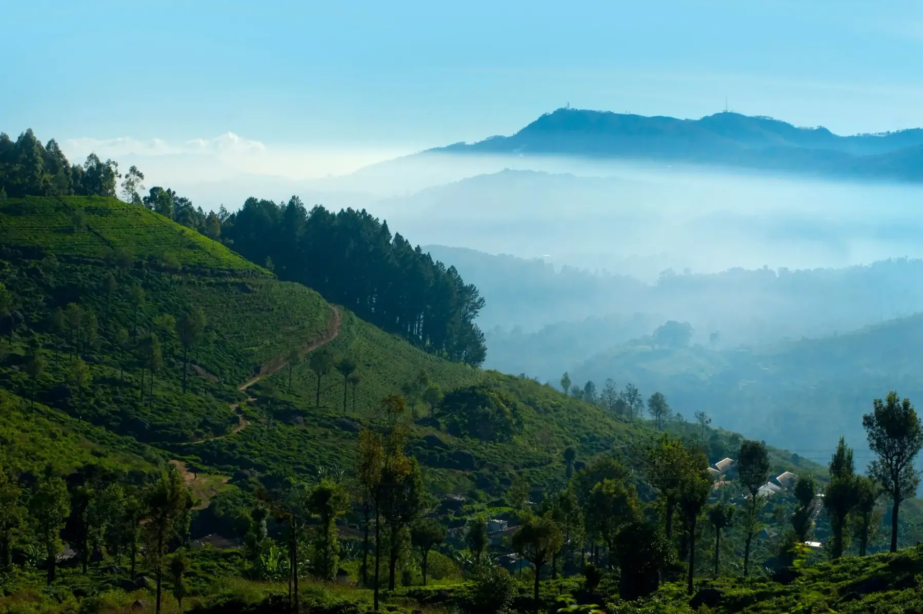
Nuwara Eliya
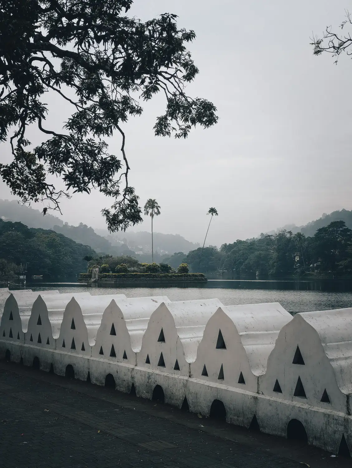
Kandy
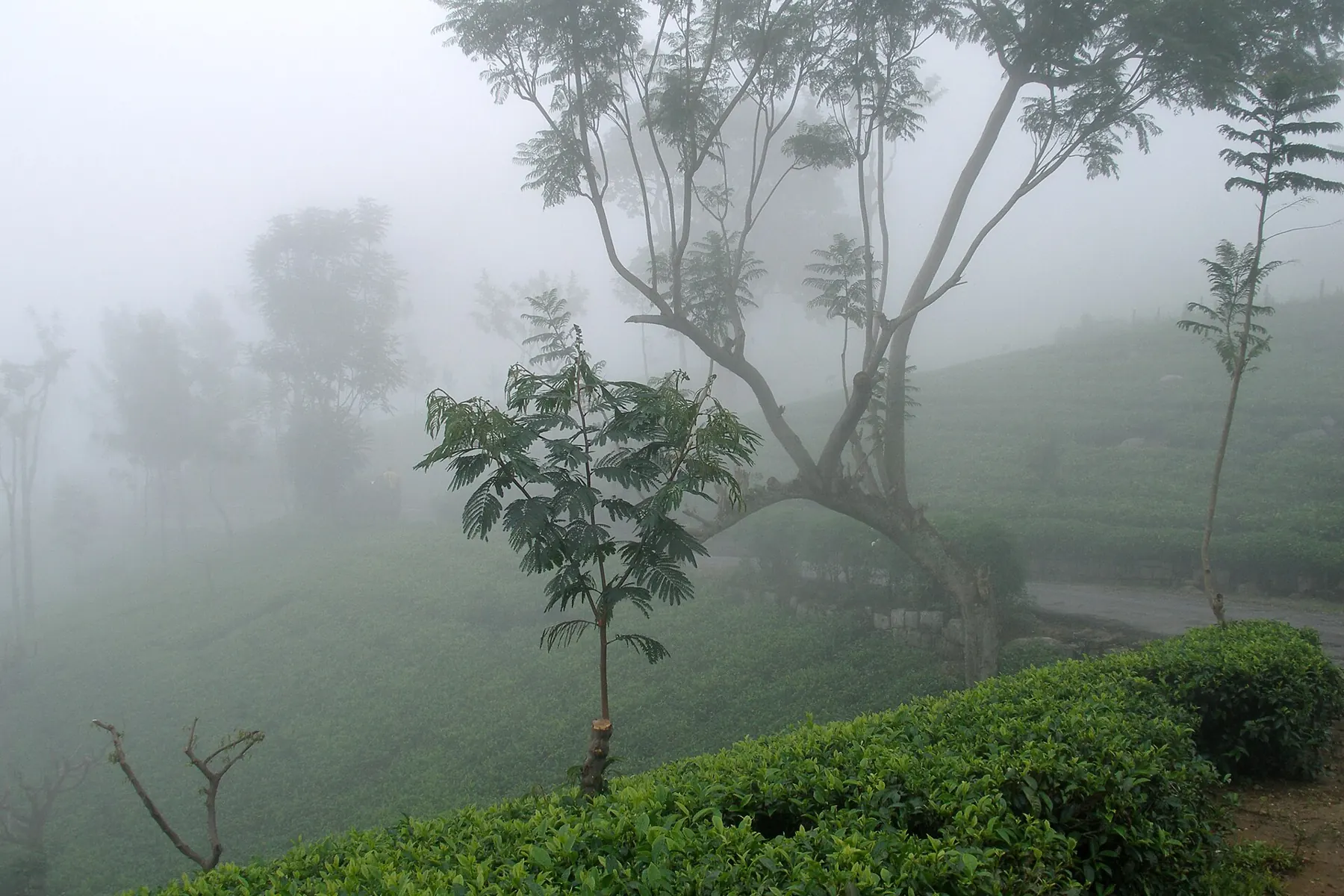
Haputale
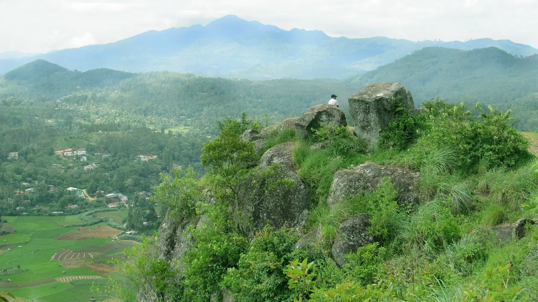
Bandarawela

Ella or Nuwara Eliya?
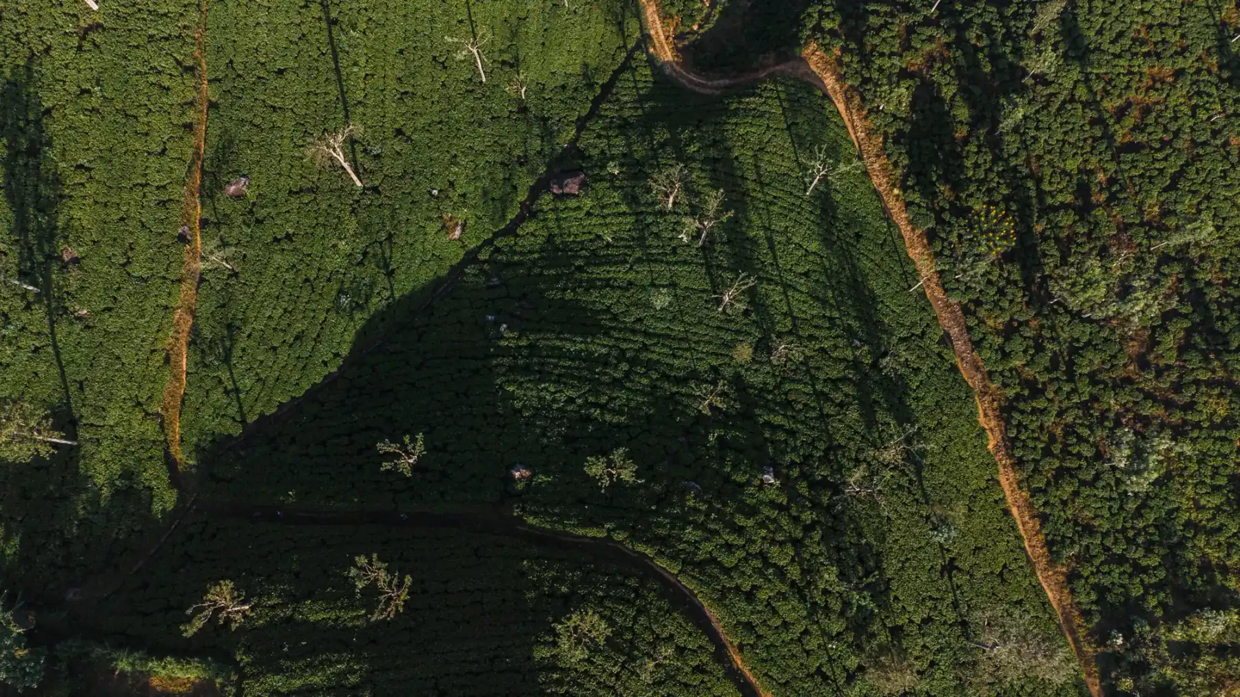
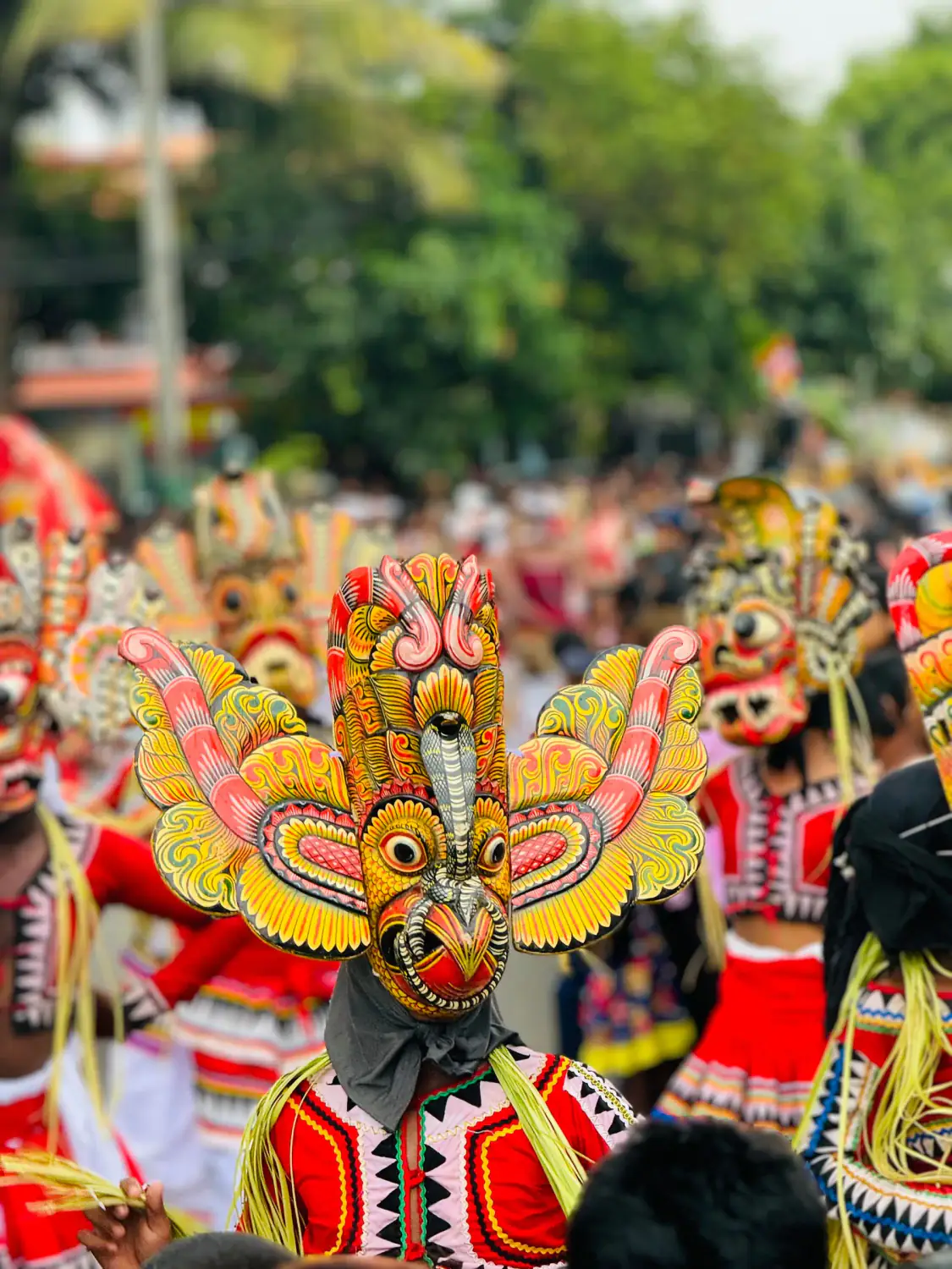
What to Wear in Sri Lanka

Related guides
All guides
Colombo Airport to Nuwara Eliya
Colombo airport to Nuwara Eliya distance: about 153 km on two road samples, the airport's fixed-fare card rate of Rs 34,992, bus fares and what the 1,868 m climb means for your first day. Checked 27 October 2026.
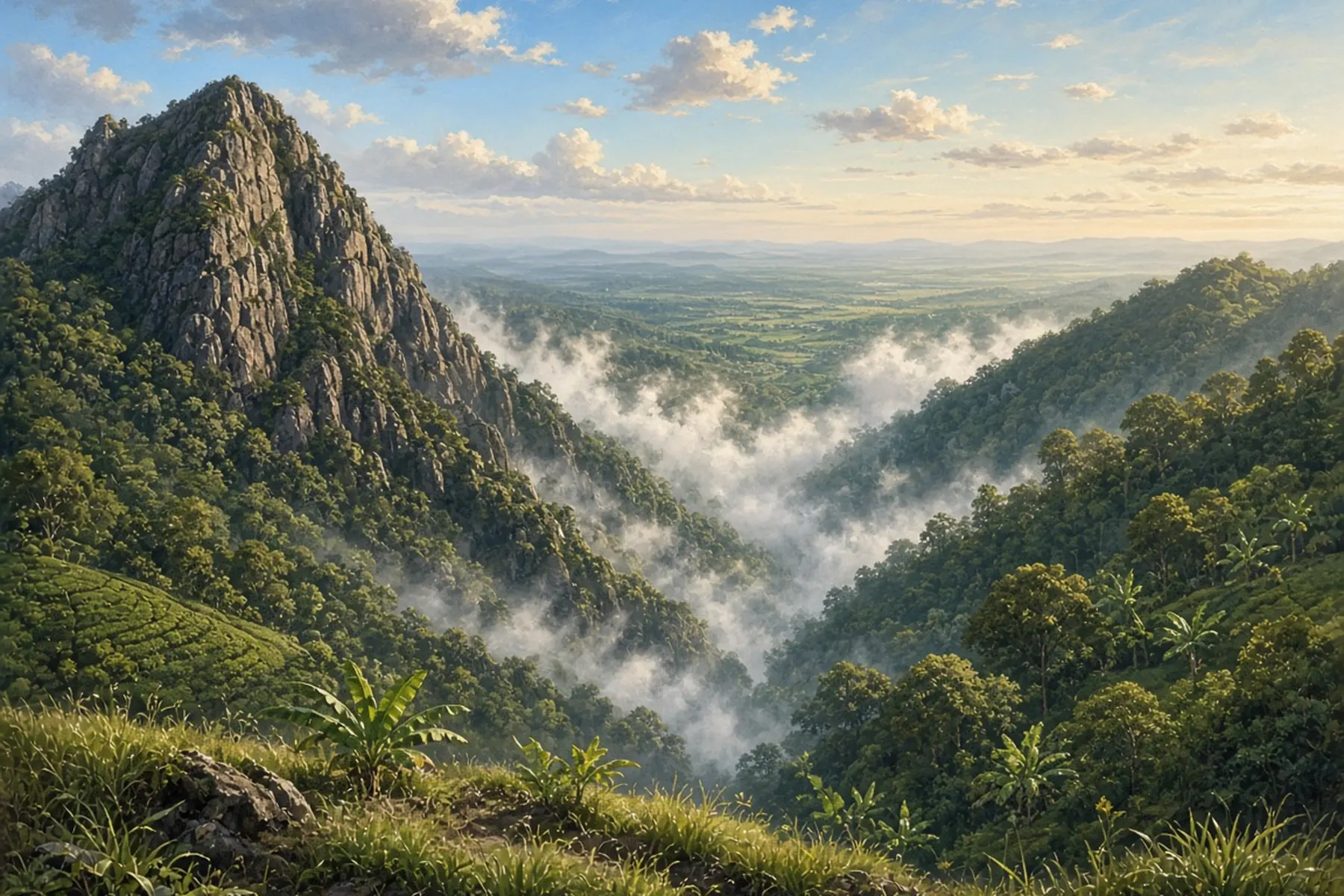
Colombo Airport to Ella
Colombo airport to Ella by road: our 206 km route sample, the airport's fixed-fare card rate of Rs 36,030, bus fares to Badulla and the hill-country weather check. Checked 27 October 2026.
Ella or Nuwara Eliya?
Choose Ella for an itinerary centred on Little Adam's Peak and the Nine Arch Bridge; choose Nuwara Eliya when Horton Plains is the priority.