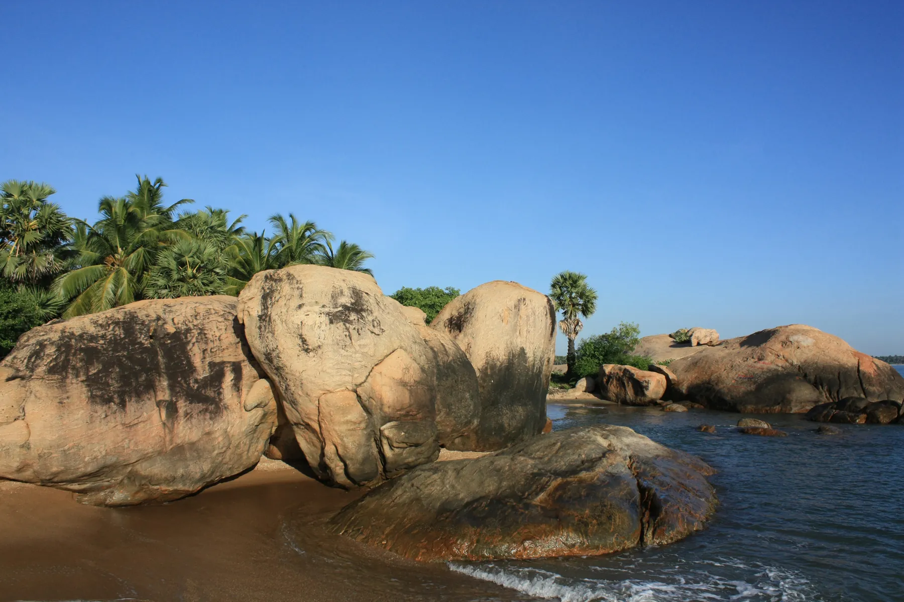
Pasikudah
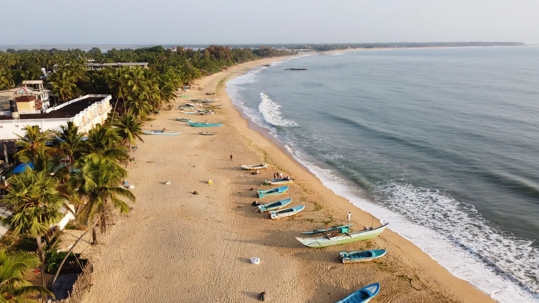
A shallow, sheltered bay about 35 km from Batticaloa, developed by the tourism authority as a National Holiday Resort, with Kalkudah next door. Best from about March to September; wettest from October to January.
Is Pasikudah worth visiting?
Quick answer: Yes, if you want calm, shallow water on the east coast between about March and September. Pasikudah (also spelled Pasikuda) is a sheltered bay about 35 km from Batticaloa that the tourism authority developed as a National Holiday Resort, with quieter Kalkudah beach next door. It is a resort stay more than a backpacker town. Avoid October to January, when the east coast gets most of its rain.
Where is Pasikudah?
Pasikudah is a coastal resort town in Batticaloa District, in Sri Lanka's Eastern Province. SLTDA places it "about 35 kilometers" from Batticaloa and says "Pasikudah and Kalkudah are located few km apart" (SLTDA tourist attractions). Like its note on Nilaveli, SLTDA says Pasikudah "used to be a popular tourist destination", which tells you the coast is still rebuilding its visitor trade.
SLTDA lists Pasikudah in its East Coast Resort Region, with Trincomalee, Nilaveli and Arugam Bay (SLTDA development projects). It also describes a National Holiday Resort at Pasikudah, where it joined two local investors to develop two hotel projects of 100 rooms each (SLTDA existing product). That planned resort zone is why most stays here are beachfront hotels rather than small guesthouses.
The nearest town is Batticaloa, which SLTDA describes as a city on the east coast "situated on an island", 69 miles from Trincomalee. On this site Pasikudah sits in the east coast region.
When is the best time to visit Pasikudah?
March to September is the dry window. The table uses the WMO 1991 to 2020 normals for Batticaloa, the nearest long-record station (WMO normals, Sri Lanka stations). "Rain days" counts days with at least 1 mm.
| Month | Rain (mm) | Rain days | High C (F) | Low C (F) |
|---|---|---|---|---|
| Jan | 268.9 | 11.1 | 28.4 (83) | 23.7 (75) |
| Feb | 148.5 | 6.6 | 29.3 (85) | 23.9 (75) |
| Mar | 70.3 | 4.7 | 30.8 (87) | 24.5 (76) |
| Apr | 52.6 | 4.1 | 32.4 (90) | 25.6 (78) |
| May | 51.7 | 3.8 | 33.5 (92) | 26.1 (79) |
| Jun | 31.5 | 3.1 | 34.5 (94) | 25.9 (79) |
| Jul | 30.7 | 2.7 | 34.4 (94) | 25.7 (78) |
| Aug | 52.1 | 3.4 | 33.8 (93) | 25.5 (78) |
| Sep | 69.3 | 4.4 | 33.0 (91) | 25.3 (78) |
| Oct | 186.8 | 10.5 | 31.6 (89) | 24.8 (77) |
| Nov | 418.6 | 17.2 | 29.7 (85) | 24.3 (76) |
| Dec | 468.8 | 16.8 | 28.6 (83) | 23.9 (75) |
Batticaloa's wet season is heavier and runs later than Trincomalee's. December averages 468.8 mm here, against 339.0 mm at Trincomalee, and January is still wet at 268.9 mm. So if you are travelling in late January or February, Nilaveli is usually the safer east coast bet, and Pasikudah comes into its own from March.
Sri Lanka Tourism sums up why the east is dry in mid-year: "The South West winds make the East Coast waters quiet with the constant sun shine" (Sri Lanka Tourism, beaches).
How is Pasikudah different from Kalkudah and Nilaveli?
| Pasikudah | Kalkudah | Nilaveli | |
|---|---|---|---|
| Where | About 35 km from Batticaloa (SLTDA) | A few km from Pasikudah (SLTDA) | About 20 km from Trincomalee (SLTDA) |
| What it is | Sheltered bay and government resort zone | Longer, quieter beach; SLTDA gives the name as Tamil for "rock bay" | Long beach facing Pigeon Island National Park |
| Water | Described by local hotels as shallow, calm and clear | Described by a local hotel as over 4 km of sand with calm, shallow water | Reef trips to Pigeon Island |
| Driest months (WMO) | March to September at Batticaloa | Same station | February to September at Trincomalee |
| Wettest month (WMO) | December, 468.8 mm | Same station | November, 375.6 mm |
| Best for | Families and easy swimming | Long walks, fewer people | Snorkelling trips and whale cruises |
The "water" row comes from The Bay by Uga's own site, so treat it as a hotel description, not a survey.
What is there to see near Pasikudah?
The Bay by Uga, a resort in the zone, publishes distances from its property to the sights around it. These are one hotel's figures, so the numbers will be a little different from your own hotel, but they show how the area is laid out (The Bay by Uga).
| Sight | What the hotel says | Distance from that hotel |
|---|---|---|
| Pasikudah Beach | Shallow, calm, clear water for swimming and snorkelling | 350 m |
| Kalkudah Beach | Over 4 km of sand with calm, shallow water | 1.4 km |
| Elephant Rock Beach | Sandstone shaped by erosion, said to look like an elephant | 2 km |
| Batticaloa Lighthouse | Built by the British in 1913, 28 m tall | 32 km |
| Batticaloa Market | Fresh produce, lagoon fish and crafts | 34 km |
| Batticaloa Fort | Portuguese fort, later Dutch and British | 35 km |
| Kallady Beach | Calm coast where ruins from the 2004 tsunami are still visible | 36 km |
A half-day trip into Batticaloa covers the lighthouse, market and fort. Read our Batticaloa guide for the town itself.
How do you get to Pasikudah?
By road, and allow a full day from the airport. Amaya Beach, a Pasikudah resort, says it is "5.5 hours (265km/164 miles) away from the Bandaranaike International airport" (Amaya Beach). That is a hotel estimate, so check the time with your driver, especially in the wet season.
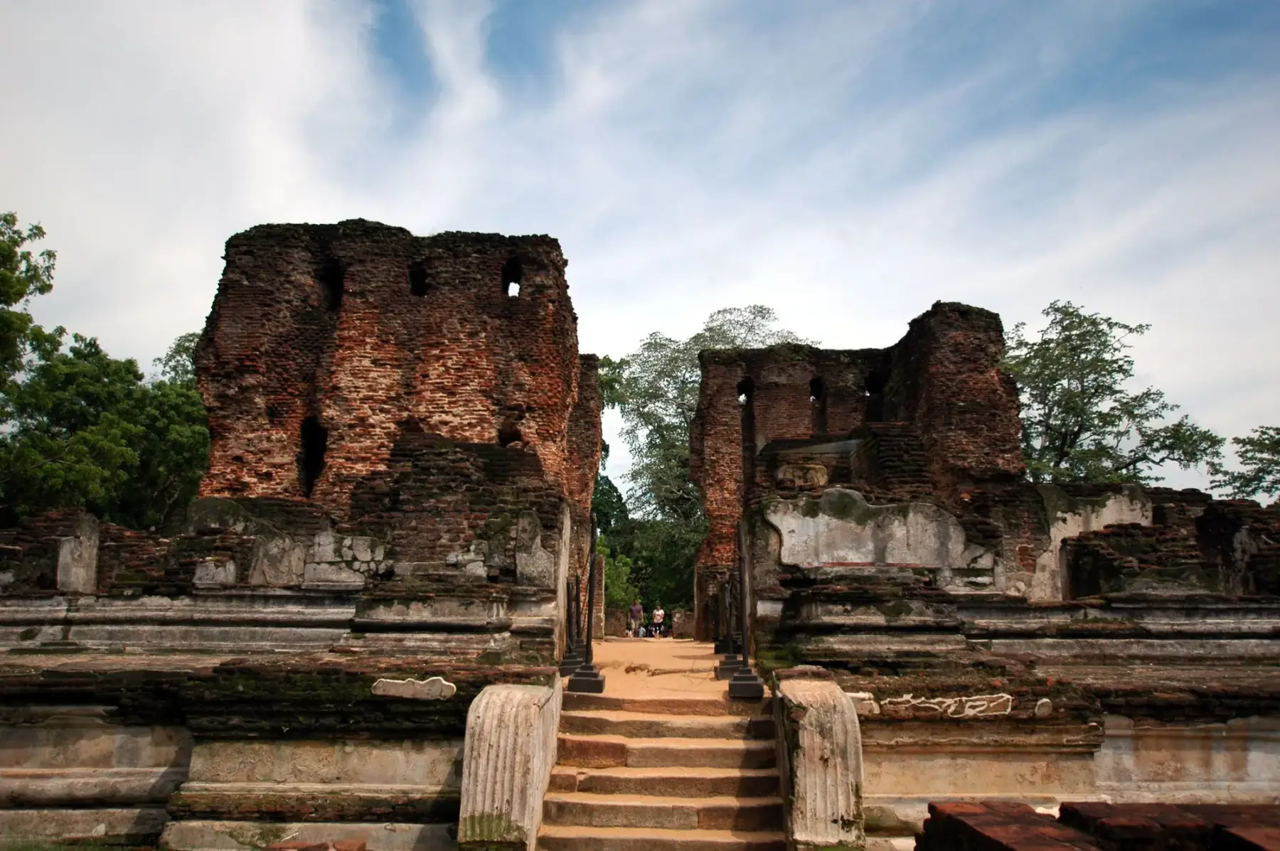
Pasikudah pairs well with the Cultural Triangle, because Polonnaruwa lies inland between the west coast and the east. We did not find an official distance for that drive, so ask your driver. The Batticaloa railway line passes close by. Sri Lanka Railways' fare table lists Kalkuda and Walachchena stations on it (fare PDF, read 18 October 2026). The file is dated July 2022, so check the fare at the counter.
| From Colombo Fort to | Distance by rail | 1st (LKR) | 2nd (LKR) | 3rd (LKR) |
|---|---|---|---|---|
| Polonnaruwa | 259.7 km | 1,700 | 850 | 420 |
| Walachchena | 319.13 km | 1,950 | 1,000 | 480 |
| Kalkuda | 322.04 km | 1,950 | 1,000 | 500 |
| Batticaloa | 349.69 km | 2,050 | 1,050 | 520 |
Sri Lanka Railways' online schedule had an expired security certificate when we checked on 18 October 2026, so we could not confirm train times. Use the railway's 1971 line or ask at the station, and arrange the last few kilometres to your hotel by road. Our getting around Sri Lanka guide explains the options.
Where should you stay in Pasikudah?
Most rooms are in beachfront resorts in the planned zone. We did not quote prices, because the hotel sites we checked show a rate only after you pick dates. Before you book:
- Check what is included. Some resorts here sell all-inclusive or half-board packages. Compare like with like.
- Check the month. Ask whether every restaurant and the pool are open if you travel between October and January.
- Check the beach side. Ask whether the hotel faces Pasikudah's sheltered bay or Kalkudah's open beach, which suits different swimmers.
Can you see whales from Pasikudah?
Not on a scheduled official cruise. The Sri Lanka Navy runs its east coast whale cruises from Trincomalee, May to October, every Saturday and Sunday at 07:00 from Nicholson Cove pier, at US$70 for a foreign adult including tax (Sri Lanka Navy schedules). If whales matter, add two nights in Nilaveli or Trincomalee to your trip. Our whale watching page compares the coasts.
Who is Pasikudah for, and who should skip it?
| Pasikudah suits you if | Skip it if |
|---|---|
| You travel between March and September | You travel between October and January |
| You want shallow, calm water for children or weak swimmers | You want surf (look at Arugam Bay instead) |
| You like a resort stay with meals included | You want a walkable village with lots of cafes |
| You are adding a beach to a Cultural Triangle trip | You have less than a week and fly from Colombo |
Frequently asked questions
Where is Pasikudah?
Pasikudah, also spelled Pasikuda, is a coastal resort town in Batticaloa District on Sri Lanka's east coast. The Sri Lanka Tourism Development Authority places it about 35 km from Batticaloa and says Pasikudah and Kalkudah are a few kilometres apart.
What is the best time to visit Pasikudah?
About March to September. On the 1991 to 2020 WMO normals for Batticaloa, the nearest station, every month from March to September averages under 71 mm of rain, and July averages only 30.7 mm. November and December are the wettest months, at 418.6 mm and 468.8 mm.
What is Pasikudah weather like in December?
Wet. December is the wettest month at the Batticaloa station, with 468.8 mm of rain over about 17 days on the 1991 to 2020 normals. Highs average 28.6 C (83 F). If you travel in December, the south coast is usually the drier beach choice.
Is Pasikudah beach good for swimming?
It is known for calm, shallow water. Hotels in the resort zone describe the bay as shallow, calm and clear, which suits families. Sea conditions still change with the weather, so swim where local staff say it is safe and stay out when flags or staff say no.
How far is Pasikudah from Colombo airport?
Amaya Beach, one of the resorts at Pasikudah, says it is 265 km and about 5.5 hours by road from Bandaranaike International Airport. That is the resort's own estimate. Allow a full day for the transfer.
What is the difference between Pasikudah and Kalkudah?
They are neighbouring bays a few kilometres apart, according to the Sri Lanka Tourism Development Authority. Pasikudah is the sheltered bay where the government resort zone and most hotels sit. Kalkudah, whose name SLTDA translates from Tamil as rock bay, is the longer, quieter beach next to it.
Pasikudah or Nilaveli: which is better?
It depends on what you want. Pasikudah is a sheltered, shallow bay with a planned resort zone, which suits families and swimmers. Nilaveli, about 20 km from Trincomalee, is the base for Pigeon Island National Park and the Navy whale cruises from Trincomalee. Both are driest from about March to September.
Sources
Last verified 2026-10-18
- https://www.sltda.gov.lk/en/tourist-attractions
- https://www.sltda.gov.lk/en/existing-product
- https://sltda.gov.lk/en/key-development-projects
- https://www.srilanka.travel/pristine-beach-holidays
- https://www.ncei.noaa.gov/data/oceans/archive/arc0216/0253808/2.2/data/0-data/Region-2-WMO-Normals-9120/SriLanka/CSV/
- https://www.amayaresorts.com/amayabeach/
- https://www.ugaresorts.com/thebay/
- https://whalewatching.navy.lk/index.php?id=3
- https://www.railway.gov.lk/web/images/pdf/Ticket_Price_Line/main_line/1_fot.pdf
Plan your Pasikudah trip
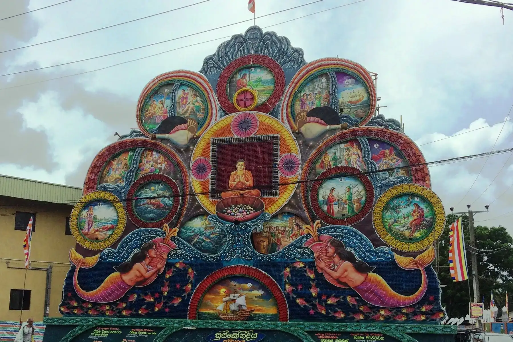
Sri Lanka in May
May is when the south-west monsoon reaches Sri Lanka: Colombo and Galle turn wet while the east coast and the north stay dry. Weather for 14 towns in C and F, Vesak 2027 dates, whales from Trincomalee and crowds, checked 18 October 2026.