Sri Lanka East Coast or South Coast?
Choose between Sri Lanka's east and south coasts by comparing travel dates, route fit and the exact activities that depend on current sea conditions.
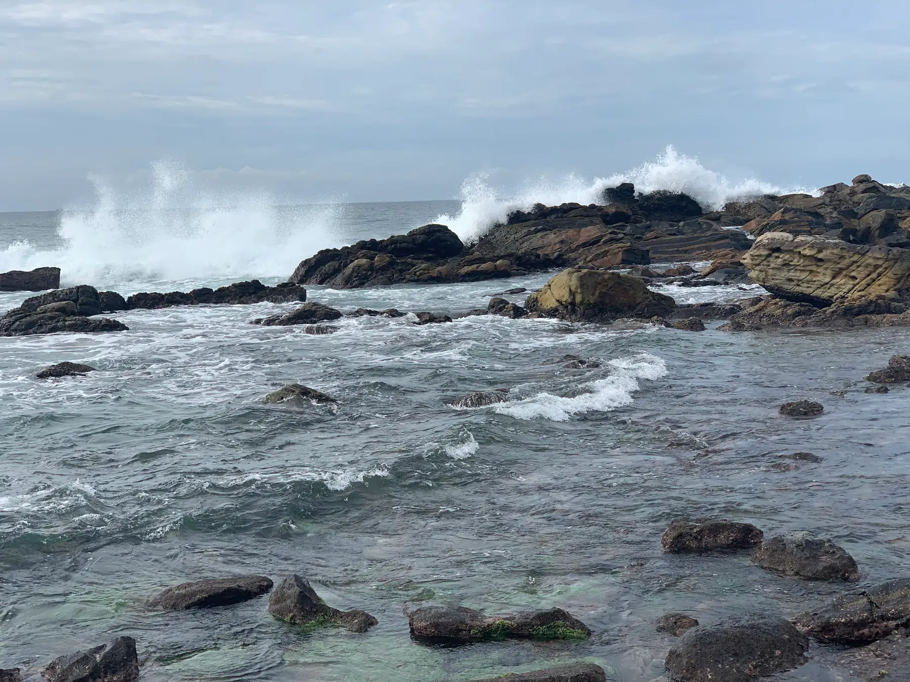
Verdict: November to March, pick the south coast; May to September, pick the east coast; then check the live forecast for your exact town.
Choose Sri Lanka's east coast when your dates and route favour Trincomalee, Batticaloa or Arugam Bay. Choose the south coast when Galle, Mirissa, Tangalle or a southern wildlife route fits better. Season matters, but it is only the first filter: a monsoon label cannot guarantee dry weather, calm water, surf quality, visibility or a departing boat.
The short comparison
| Decision factor | East coast | South coast |
|---|---|---|
| Main site destinations | Trincomalee, Batticaloa, Arugam Bay | Galle, Mirissa, Hiriketiya, Tangalle, Hikkaduwa |
| Broad seasonal exposure | More directly affected by the north-east monsoon period | More directly affected by the south-west monsoon period |
| Strong route connection | Northern or east-coast itinerary; Trincomalee and Batticaloa heritage; east-coast surf planning | Galle Fort; south-coast towns; Yala or Udawalawe route planning |
| Before-water check | Current forecast, marine information, local warnings and operator status | Current forecast, marine information, local warnings and operator status |
This table is a route-planning shortcut, not a promise about conditions on a future date.
Start with the rainfall season, then narrow the answer
Sri Lanka's Department of Meteorology divides the year into four broad rainfall seasons: the north-east monsoon from December to February, the first inter-monsoon in March and April, the south-west monsoon from May to September, and the second inter-monsoon in October and November.
The south-west monsoon primarily affects the south-western part of Sri Lanka. The north-east monsoon brings rain mainly to eastern and north-eastern areas. During the inter-monsoons, thunderstorms can occur across the island. These long-term patterns help screen a route, but current weather can depart from an average pattern.
Sri Lanka Tourism's beach page, checked on 11 October 2026, puts the coastal rule this way: "The north east winds make the south western coast sunny and the sea calm from November to March. The South West winds make the East Coast waters quiet …" The Department of Meteorology dates the south-west monsoon from May to September. Together these give the month rule in the verdict above. October, November, March and April fall in the inter-monsoons, when thunderstorms can occur across the island.
Use the best-time-to-visit guide for the month-by-month framework, and the Sri Lanka in November guide for district rainfall averages in that inter-monsoon month. Then review the official forecast for the actual coastal town close to travel.
Choose the east coast for an east-led route
The east coast is the stronger fit when the intended trip is built around one or more of these distinct stops:
- Trincomalee, for a harbour-city and sacred-site plan that may also include nearby beaches;
- Batticaloa, for a separate lagoon-city and heritage stop;
- Arugam Bay, when surfing is central and the current break suits the surfer's ability;
- Pigeon Island National Park, when current Department of Wildlife Conservation access and sea conditions allow an authorised visit.
Do not treat these places as interchangeable beach labels. A traveller interested in Koneswaram Temple has a different reason for choosing Trincomalee than a surfer considering Arugam Bay. Select the destination first, then verify the activity.
Choose the south coast for a southern route
The south coast is the stronger fit when the route already depends on:
- Galle, particularly the Old Town and its fortifications;
- Mirissa, Hiriketiya, Tangalle or Hikkaduwa as a named coastal stop;
- Yala or Udawalawe as a separate wildlife decision;
- a west- and south-coast sequence that would otherwise require a long cross-island detour.
The south coast is not one continuous experience. Galle's heritage purpose differs from a beach day, and a wildlife drive is governed by park access rather than beach weather. Compare the actual stops instead of choosing a whole coast from a photograph or slogan.
Match the coast to the activity
Swimming and beach time
Rainfall alone does not establish safe swimming. Check current marine information, signs, flags and local instructions at the exact beach. If conditions are unsuitable, do not assume a nearby bay will be safe without a separate check.
Surfing
A coast-level season does not establish conditions at one break or for one ability level. Confirm the current forecast, hazards and suitable entry point with a responsible local source. The surfing guide explains this evidence boundary.
Diving and snorkelling
Visibility, currents, access, operator decisions and protected-area rules can all matter. For Pigeon Island, use current Department of Wildlife Conservation information and its permit service. See the diving and snorkelling guide before treating a seasonal article as an operating notice.
Whale watching
A historical season does not guarantee a departure or sighting. Confirm the operator, harbour, weather decision and current rules. The whale-watching guide does not publish a sighting promise.
Can you visit both coasts?
Yes, if both add a specific priority and the transfers still leave enough time at each stop. Plot the exact route rather than assuming an island crossing is a minor detour. Verify each long transfer using current rail, bus or road information, and keep a fallback where a missed connection would affect the next booking.
For a short trip, one well-chosen coast is usually a clearer plan than adding both merely for coverage. The how-many-days guide helps test whether the itinerary has become transfer-heavy.
A five-step decision
- Write down the exact coastal activity or place you would regret missing.
- Compare your dates with the Department of Meteorology's broad rainfall season.
- Put each option into the full route and count the real transfer segments.
- Check current forecasts, marine information, access and operator status.
- Choose a fallback that would still make the coastal stay worthwhile if water conditions change.
There is no universally better coast. The better choice is the one that fits the date, route and specific activity while leaving room to respond to current conditions.
Sources
Last verified 2026-10-11
Covered in this guide
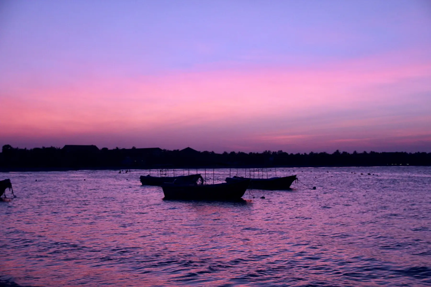
East Coast
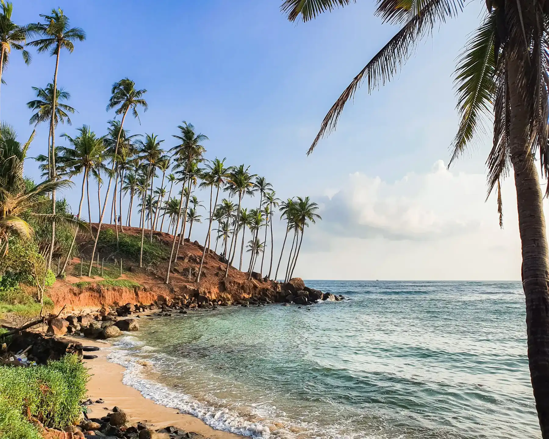
South Coast
Beaches & Coastal Travel
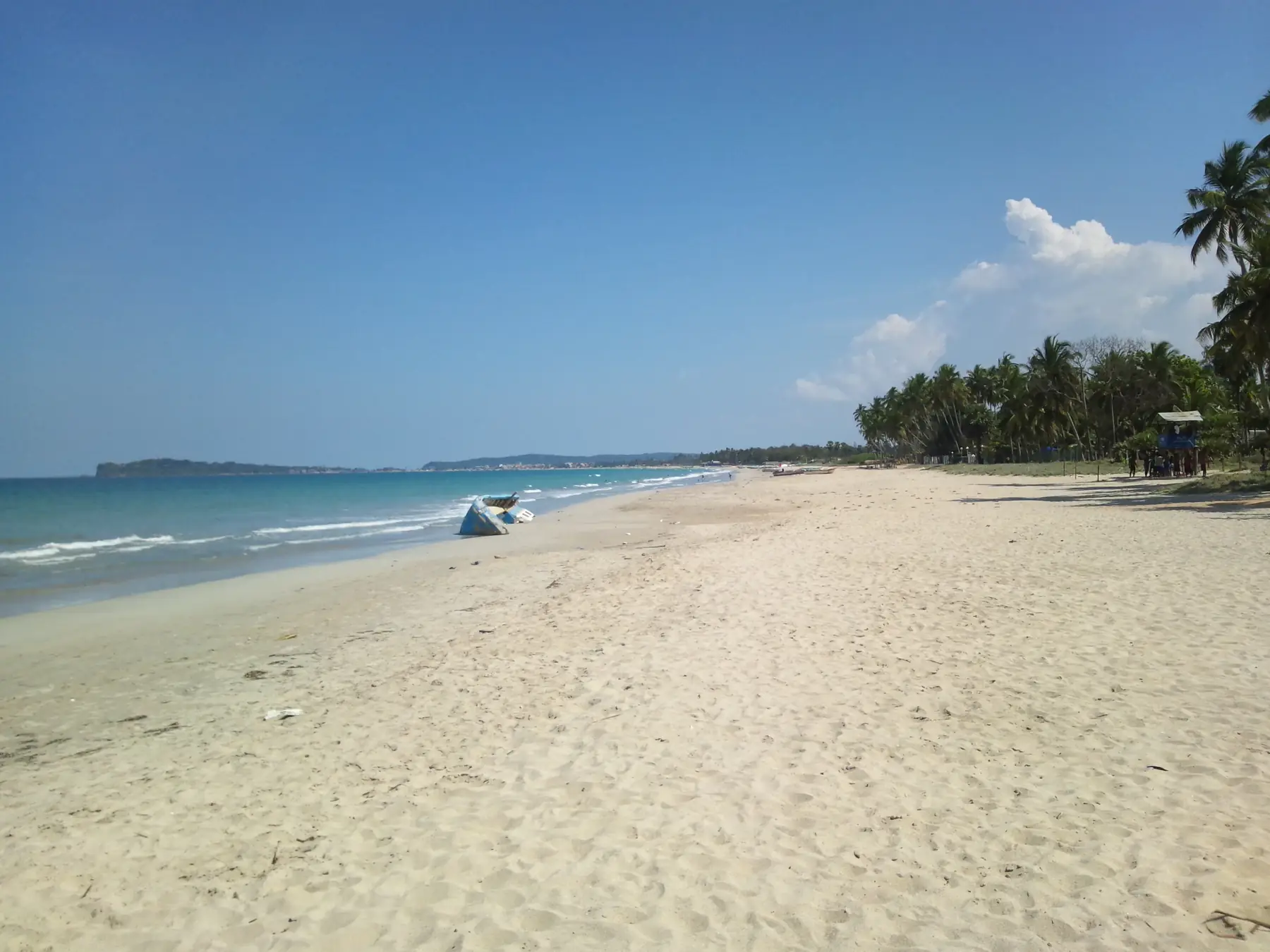
Trincomalee
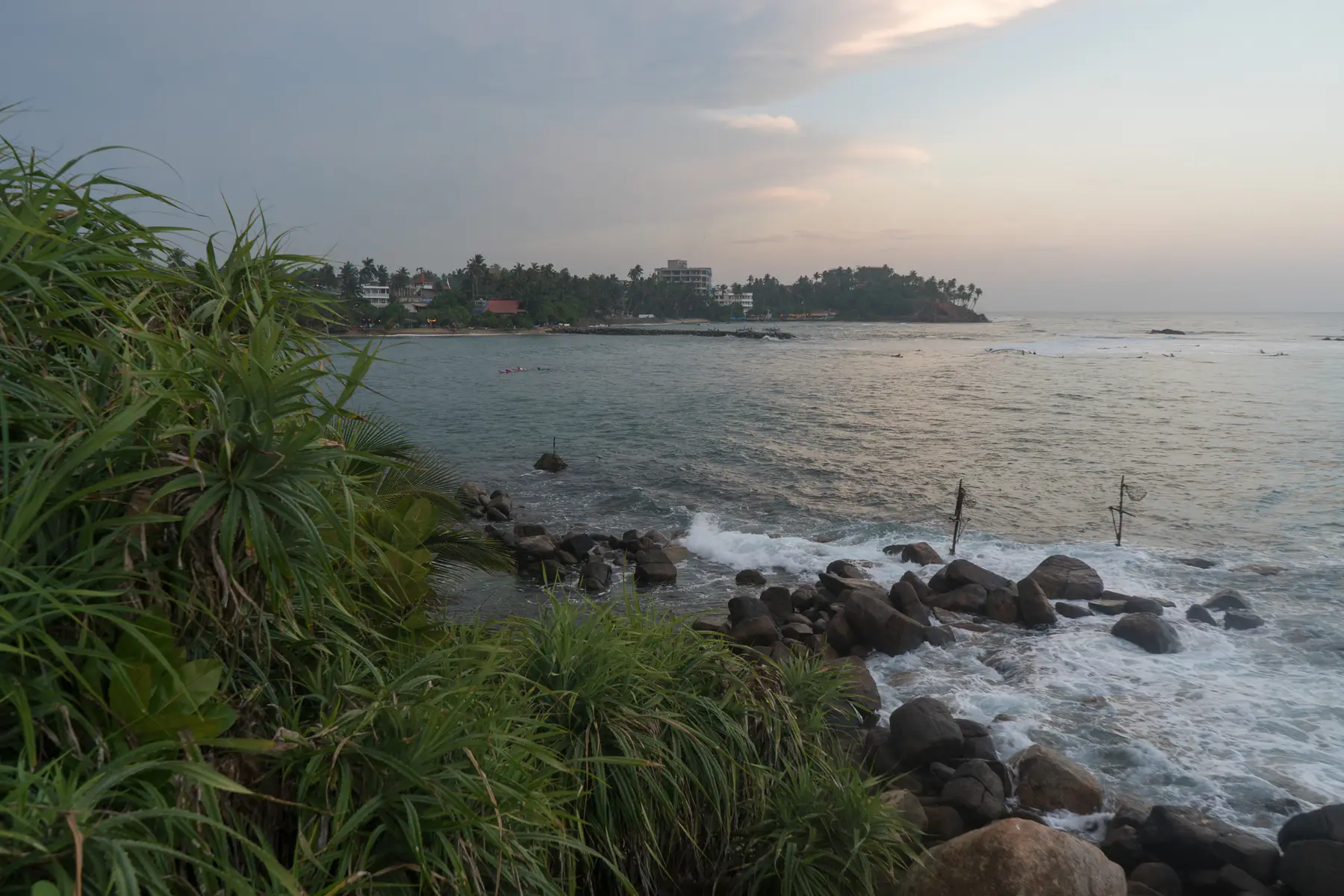
Mirissa
Related guides
All guides
Sri Lanka in November
November is one of Sri Lanka's wetter months island-wide, and the Department of Meteorology expects above-normal rain in November 2026. How to plan around it, where to go, and what opens, checked 12 October 2026.
Sri Lanka's Award-Winning Beaches 2026
Four Sri Lankan beaches made Condé Nast Traveller's 2026 Best beaches in Asia top 20: Arugam Bay (1st), Bentota (9th), Tangalle (14th) and Negombo (19th). Scores, best months for each and how to fit them into a trip from the UK, checked 16 October 2026.
How much does a Sri Lanka trip cost?
Sri Lanka trip costs in GBP, USD, EUR and JPY at the Central Bank rate of 16 Oct 2026: official tickets and fares, SLTDA daily spend, and room, surf and garden prices sampled from businesses' own pages on 17 Oct 2026.