Mannar
An island town in the north-west, joined to the mainland by a causeway, with a Portuguese and Dutch fort, a baobab tree the Department of Archaeology dates to 1477, Thiruketheeswaram temple and Adam's Bridge Marine National Park. Train fares, distances and the best months, checked 21 October 2026.
Is Mannar worth visiting?
Quick answer: Yes, if you want quiet history on a northern route. Mannar is an island town joined to the mainland by a causeway. It has a fort first built by the Portuguese around 1560, a baobab tree dated to 1477, the Shiva temple of Thiruketheeswaram and Adam's Bridge, Sri Lanka's first marine national park. The train from Colombo Fort costs Rs 1,900 in 1st class.
Mannar District is in the Northern Province. The town sits on Mannar Island, at the end of the road from Medawachchiya, with Talaimannar at the island's far western tip. Our Northern Sri Lanka region page shows how it fits with Jaffna.
What is there to see in Mannar?
The Department of Archaeology survey lists these sites in and around the town. The details are the survey's.
| Site | What the survey says | How to find it |
|---|---|---|
| Mannar Fort | First built by the Portuguese around AD 1560, then extensively repaired by the Dutch after they took it in 1658. Built of limestone, coral stone and burnt brick, with a church, court house and bastions inside. The church holds tombstones dated from 1670 to 1964 | About 10 m after the bridge into town on the Colombo to Mannar road, by the lagoon |
| Baobab tree | Believed planted by Arab seamen in AD 1477. Girth 19.51 m, height 7.5 m | 800 m along Pallimunai Road in Mannar town |
| Thiruketheeswaram Kovil | One of the main temples to the god Shiva in Sri Lanka, in the area of the ancient port of Mantota. The present buildings are modern | 8 km along the Mannar to Jaffna road, then turn at Mantai junction |
| Church of Our Lady of Madhu | Traces back to a church at Mantai in 1670. The foundation stone of the present church was laid on 8 August 1872 | Turn at Madhu junction on the Medawachchiya to Mannar road |
| Adam's Graves, Urumalai | Two long tombs venerated by Muslims, about 13 m long. Folklore says they are about 400 years old | Near Talaimannar, off the Urumalai road |
Mannar Fort
The fort is the first thing you see after the causeway. The survey notes that the buildings inside still show Dutch features. It is a ruin, so wear shoes with grip and keep off loose walls.
The baobab tree
The survey's girth of 19.51 m makes it a very wide tree for its 7.5 m height. It is in town, so you can walk or take a tuk-tuk.
Thiruketheeswaram
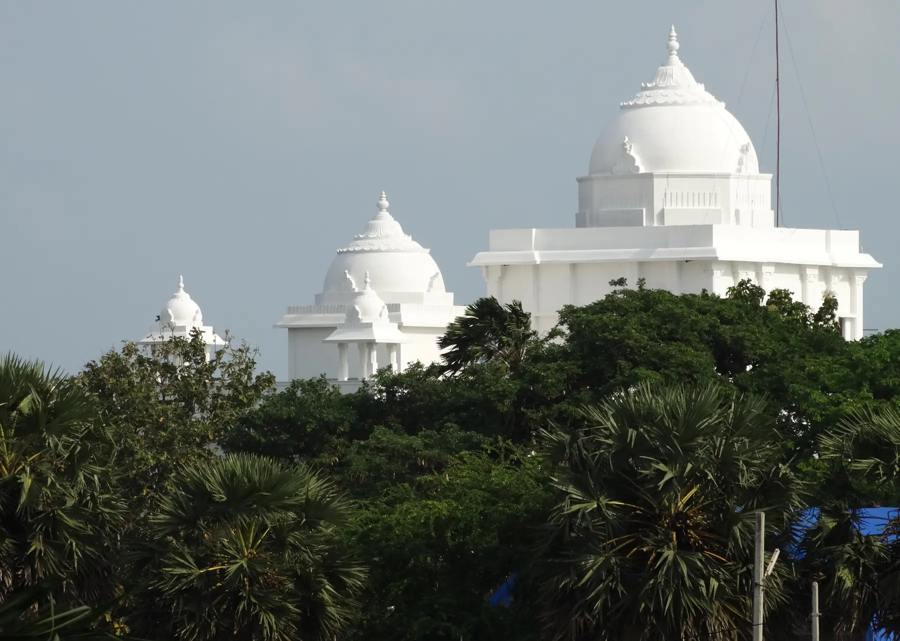
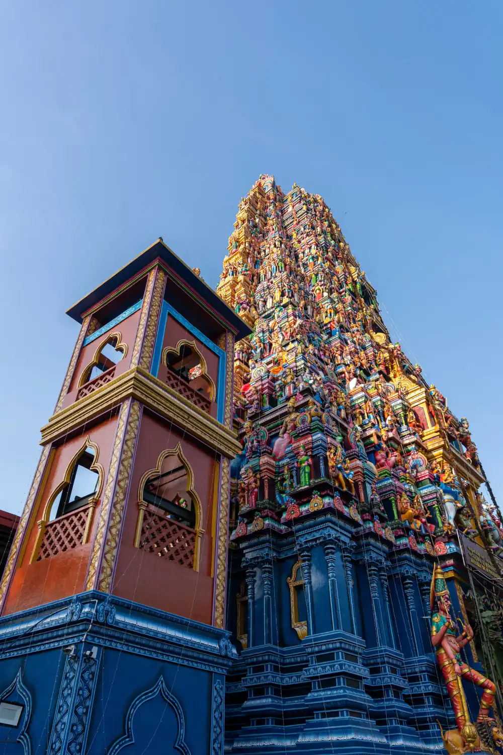
The survey says a Hindu temple stood here in the reign of King Sirimeghavanna (AD 301 to 328), that it was destroyed after the 1540s, and that the area is now an archaeological reserve. It is an active temple. Our Hindu temple circuit covers the other major Hindu temples, and the sacred sites guide covers dress.
What is Adam's Bridge?
Adam's Bridge is the chain of shoals and sandbanks between Mannar and India. The Department of Wildlife Conservation says it was declared Sri Lanka's first marine national park under the Fauna and Flora Protection Ordinance. In a marine national park, visitors may observe and study the plants and animals, and activities carried on by custom before the park was declared can continue under conditions.
The closest point by road is Talaimannar, about 30 km from Mannar town. We found no official booking page or tariff for boat trips to the sandbanks today, so ask locally, check that the trip has the right permits and go only in calm weather.
How do you get to Mannar?
By train
Mannar is on the railway line to Talaimannar Pier. Fares from Colombo Fort on the Sri Lanka Railways fare table:
| Station | Distance from Colombo Fort | 1st class | 2nd class | 3rd class |
|---|---|---|---|---|
| Madu Road | 273.91 km | Rs 1,750 | Rs 900 | Rs 440 |
| Thirukethiswaram | 300.43 km | Rs 1,850 | Rs 950 | Rs 460 |
| Mannar | 309.98 km | Rs 1,900 | Rs 950 | Rs 480 |
| Talaimannar Pier | 336.97 km | Rs 2,000 | Rs 1,000 | Rs 500 |
We could not load an official timetable today, so check train times at Colombo Fort or on the official booking site. Our train booking and prices guide explains how to reserve a seat.
By road
| From Mannar to | Distance | Time (no traffic) |
|---|---|---|
| Thiruketheeswaram | about 11 km | about 15 min |
| Talaimannar | about 30 km | about 40 min |
| Madhu church | about 39 km | about 1 h |
| Anuradhapura | about 106 km | about 2 h 20 min |
| Jaffna | about 118 km | about 2 h 10 min |
| Colombo Fort | about 287 km | about 5 h 30 min |
Road times are OpenStreetMap routes checked on 21 October 2026, with no traffic.
By sea
There is no passenger ferry from Mannar today. The India to Sri Lanka ferry we track runs from Nagapattinam to Kankesanthurai, near Jaffna. See the India to Sri Lanka ferry guide.
When is the best time to visit Mannar?
Of the 20 Sri Lankan WMO weather stations, Mannar has the lowest yearly rainfall, 947.4 mm. These are the WMO 1991 to 2020 normals for the Mannar weather station.
| Month | Rain (mm) | Rain days (1 mm or more) | Average high (°C) |
|---|---|---|---|
| January | 54.1 | 4.6 | 29.4 |
| February | 28.3 | 3.2 | 30.8 |
| March | 34.7 | 3.7 | 32.6 |
| April | 88.9 | 6.8 | 33.1 |
| May | 61.2 | 4.1 | 32.3 |
| June | 5.9 | 1.6 | 31.5 |
| July | 8.5 | 1.6 | 31.1 |
| August | 13.1 | 1.9 | 31.0 |
| September | 52.6 | 3.4 | 31.0 |
| October | 166.1 | 9.8 | 31.0 |
| November | 257.1 | 13.9 | 29.8 |
| December | 176.9 | 10.7 | 29.1 |
June to August is the driest stretch, with under 15 mm of rain a month. The wet season runs from October to December. That makes Mannar a good fit for a summer trip, when the south-west coast is in its monsoon. Our Sri Lanka in July and August guide covers the rest of the island in those months.
How does Mannar fit into a trip?
- With Jaffna: about 118 km by road. See Jaffna.
- With Anuradhapura: about 106 km by road. See Anuradhapura.
- On a Ramayana route: Sri Lanka Tourism lists Thiruketheeswaram as a Ramayana trail site. Our Ramayana trail itinerary links it with the other sites.
- For Christian heritage: add Madhu church to the sites in our Christian heritage guide.
Frequently asked questions
Is Mannar worth visiting?
Yes, if you like quiet places with history. Mannar has a fort first built by the Portuguese around 1560, a baobab tree the Department of Archaeology's survey dates to 1477, the Shiva temple of Thiruketheeswaram and Adam's Bridge, Sri Lanka's first marine national park. It is a long way from the south, so it suits a northern route.
How do you get from Colombo to Mannar?
By train or road. The Sri Lanka Railways fare table lists Mannar 309.98 km from Colombo Fort, at Rs 1,900 in 1st class, Rs 950 in 2nd and Rs 480 in 3rd. By road it is about 287 km, around 5.5 hours with no traffic on the OpenStreetMap route we checked on 21 October 2026.
What is the baobab tree in Mannar?
A baobab on Pallimunai Road in Mannar town. The Department of Archaeology's survey, quoted in a 2021 Mannar tourism guide, says it is believed to have been planted by Arab seamen in AD 1477, with a girth of 19.51 m and a height of 7.5 m.
How far is Thiruketheeswaram from Mannar?
About 11 km by road, around 15 minutes, on our OpenStreetMap route. Sri Lanka Tourism's Ramayana trail page gives 8.7 km and 15 minutes. The archaeology survey says to go 8 km along the Mannar to Jaffna road and turn at Mantai junction.
Can you visit Adam's Bridge from Mannar?
You can see the area from Talaimannar, about 30 km from Mannar town by road. The Department of Wildlife Conservation says Adam's Bridge was declared Sri Lanka's first marine national park. We found no official booking page or tariff for boat trips today, so ask locally and check permits before you go.
Is there a ferry from Mannar to India?
Not from Mannar today. The passenger ferry between India and Sri Lanka that we track sails between Nagapattinam and Kankesanthurai, in the Jaffna peninsula. See our India to Sri Lanka ferry guide for its current status.
When is the best time to visit Mannar?
June to August, the driest months on the WMO 1991 to 2020 normals for Mannar, each under 15 mm of rain. January to March is also dry, under 55 mm a month. November is the wettest month at 257.1 mm.
How far is Madhu church from Mannar?
About 39 km by road, around one hour, on the OpenStreetMap route we checked. The archaeology survey says the church of Our Lady of Madhu traces back to a church built at Mantai in 1670, and the foundation stone of the present church was laid on 8 August 1872.
Sources
Last verified 2026-10-21
- https://gmsl.lk/wp-content/uploads/2021/09/Guide-to-archaeological-values-for-tourism-in-Mannar-district.pdf
- https://www.dwc.gov.lk/?page_id=72
- https://www.srilanka.travel/ramayanaya/places.php
- https://www.railway.gov.lk/web/images/pdf/Ticket_Price_Line/main_line/1_fot.pdf
- https://www.ncei.noaa.gov/data/oceans/archive/arc0216/0253808/2.2/data/0-data/Region-2-WMO-Normals-9120/SriLanka/CSV/
- https://www.openstreetmap.org/
Plan your Mannar trip
Hindu Temple Circuit
A realistic regional-choice guide for active Hindu temples in Jaffna, Trincomalee and Kataragama.