Yala weather in November 2026
Yala has no weather station. This guide shows November rain and heat at Hambantota and Pottuvil, the Met Department's 2026 outlook, a dated 29 October 2026 warning snapshot and road times to the Palatupana side.
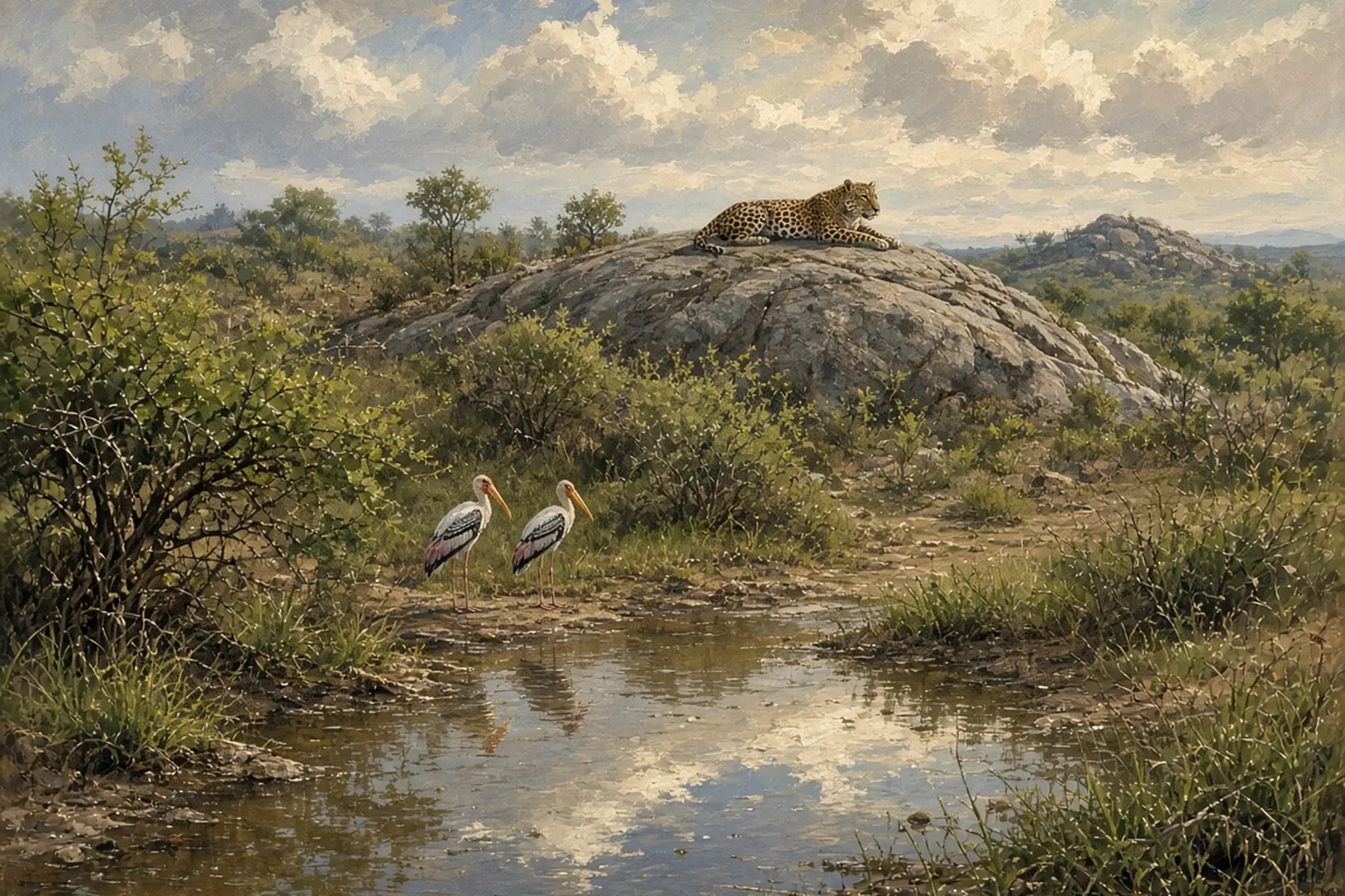
What is the weather near Yala in November?
Quick answer: Yala has no weather station, so we use the official stations on either side: Hambantota on the south coast and Pottuvil on the east coast. On the 1991 to 2020 WMO normals, November is the wettest late-year month at Hambantota, with 221.8 mm against 128.5 mm in October and 132.1 mm in December, while Pottuvil has 307.6 mm. Days stay hot, at about 30.6 C. This page covers weather and the road only, so confirm park gates and blocks for your date with the Department of Wildlife Conservation.
Yala National Park spans a large area. The Hambantota station is at 18 m on the south coast, and Pottuvil is at 4 m on the east coast, so between them they bracket the park's two sides. We do not know which is closer to the part you will visit, so we show both.
| November normals | Hambantota (south) | Pottuvil (east) |
|---|---|---|
| Rain in the month | 221.8 mm | 307.6 mm |
| Days with 1 mm or more | 13.0 | 14.6 |
| Days with 10 mm or more | 6.2 | 8.0 |
| Average high | 30.6 C (87 F) | 30.9 C (88 F) |
| Average low | 24.1 C (75 F) | 23.3 C (74 F) |
Rain falls on about 43 per cent of November days at Hambantota and about 49 per cent at Pottuvil. Days of 10 mm or more are the ones that matter for a jeep drive. Hambantota has about 6.2 of them and Pottuvil about 8.0.
How does November compare with October and December?
| Month | Hambantota rain (mm) | Hambantota days of 10 mm or more | Pottuvil rain (mm) | Pottuvil days of 10 mm or more |
|---|---|---|---|---|
| Oct | 128.5 | 3.8 | 134.5 | 4.5 |
| Nov | 221.8 | 6.2 | 307.6 | 8.0 |
| Dec | 132.1 | 4.0 | 306.5 | 8.0 |
| Jan | 68.4 | 2.6 | 263.0 | 6.3 |
| Feb | 47.4 | 1.9 | 136.8 | 4.3 |
- At Hambantota, November is the peak. It has about 1.7 times the rain of October and about 1.7 times the rain of December.
- At Pottuvil, the wet spell starts in November and runs into January. December (306.5 mm) is as wet as November, and January has 263.0 mm.
- October is the quiet month at both, and January and February ease off further at Hambantota (68.4 mm and 47.4 mm).
So "November in Yala" is not one weather pattern. The south side peaks in November, while the east side stays wet for longer. For the broader season picture, see our monsoon seasons guide and our best time to visit Sri Lanka guide.
What does the 2026 outlook say?
The Department of Meteorology's consensus outlook, issued 2 October 2026, expects above-normal rain across most of the country for the October to December season and for November, and it says the El Nino that has been continuing is likely to be joined by a positive Indian Ocean Dipole. For December it gives "a higher probability of slightly above-normal rainfall across most parts of the country". Its model ensemble names the Southern Province among the places where above-normal December rain is likely.
Hambantota district is in the Southern Province. The outlook cannot tell you whether a given safari morning will be dry, and it does not say anything about park access.
What is the weather warning today? (Checked 29 October 2026)
This block is a dated snapshot, not a November forecast.
- Rain. The Department of Meteorology forecast issued at 5.30 am on 29 October 2026 expected showers or thundershowers at a few places after 1.00 pm in Hambantota district and Uva Province.
- Sea. The sea area forecast issued at 5.30 am on 29 October 2026 says cyclonic storm Arnab, over the north coast of Andhra Pradesh in India, has weakened into a deep depression, and the warning for multi-day boats in the deep south-west Bay of Bengal is withdrawn. It expects winds of 25 to 35 kmph, up to 45 kmph at times, and seas that are fairly rough at times from Puttalam to Mullaitivu via Kankesanthurai and from Galle to Pottuvil via Hambantota, with gusts of 60 to 70 kmph and very rough seas possible in thundershowers. The Yala coast is on the Galle to Pottuvil stretch.
- Landslides. The National Building Research Organisation (NBRO) landslide early warning LEWM-28-10-2026-1600-35, published by the Disaster Management Centre (DMC), is valid from 4 pm on 28 October to 4 pm on 29 October 2026 and lists no area at Level 3 (Red). It does not list Hambantota or Monaragala. Landslide risk is a hill-country concern, so this matters mostly if you drive down from Ella.
- What to do. Call 117, the DMC hotline, and read the Met bulletin. We cannot confirm road or park status.
How do you reach the Palatupana side by road?
Many visitors reach Yala from the hills. These are OSRM figures sampled on 29 October 2026, with no traffic. Real trips take longer in rain, in holiday periods and behind buses.
| Leg | Distance | OSRM time |
|---|---|---|
| Ella to Wellawaya | 27.3 km | 34 min |
| Wellawaya to Tissamaharama | 62.1 km | 67 min |
| Ella to Tissamaharama | 89.3 km | 1 h 41 min |
| Tissamaharama to Palatupana | 15.9 km | 25 min |
| Ella to Palatupana | 105.2 km | 2 h 6 min |
From Arugam Bay, our Arugam Bay to Yala guide gives about 167 km and 3 hours 10 minutes to Palatupana. Our Tissamaharama guide is the usual overnight base. Palatupana is the point we routed to. It is not an entry gate and we make no claim about gates. Our driving guide covers road rules. Our Ella to Yala road guide has the full stage table.
How should you plan around the rain?
The numbers give a few practical rules, and none of them is a promise about wildlife.
- Book flexible. Keep a spare night in Tissamaharama or Hambantota, so a wet morning does not cost the whole trip.
- Ask your operator how they handle rain. We have no source on track conditions, so ask directly whether they cancel, shorten or move a drive.
- Plan for heat as well. Average highs are near 30.6 C and lows near 24.1 C, so bring water, a hat and sun protection even in a wet month.
- Check the Met bulletin and DMC notices the evening before and again before the drive.
- Do not assume an October or December pattern. At Hambantota November has 93 mm more rain than October.
If you are still choosing a park, our Udawalawe or Yala guide compares the two, and our Udawalawe National Park page covers the other option. For the south coast beach side, see our south coast region guide.
What should you pack for Yala in November?
- Light, long-sleeved clothes in neutral colours.
- A light rain jacket and a dry bag for phones and cameras.
- A hat, sunscreen and water.
- Closed shoes or sandals with grip for wet ground at the hotel and park entrance.
- Insect repellent for evenings.
Our what to wear guide has the island-wide list.
Who should go in November, and who should wait?
Go in November if your dates are fixed and you can keep a spare day, accept some wet mornings and prefer fewer fixed plans. Rain is common but so is heat, so you are unlikely to be cold.
Consider October or December instead if you want less rain at Hambantota. On the normals, October has 128.5 mm and December 132.1 mm against 221.8 mm in November. At Pottuvil, October is the drier month (134.5 mm), and December is as wet as November.
Check the park first if your trip is built around a particular block or date. This page cannot tell you that.
This guide has no affiliate links.
Frequently asked questions
What is the weather in Yala in November?
Hot, with rain peaking on the south side. Yala has no station, so we use Hambantota (south) and Pottuvil (east). November averages 221.8 mm at Hambantota and 307.6 mm at Pottuvil, with highs near 30.6 C and 30.9 C.
Is November the rainy season in Yala?
On the nearest stations, November is the wettest of October to December at Hambantota (221.8 mm against 128.5 mm in October and 132.1 mm in December). At Pottuvil, rain is similar in November and December (307.6 mm and 306.5 mm).
How hot is Yala in November?
Average highs are 30.6 C (87 F) at Hambantota and 30.9 C (88 F) at Pottuvil, with average lows of 24.1 C (75 F) and 23.3 C (74 F). Bring water, a hat and sun protection.
Is Yala open in November?
This page does not say. We make no claim about park gates, blocks or permits. Confirm opening for your date and block with the Department of Wildlife Conservation before you pay for transport or a jeep.
How far is Palatupana from Ella?
About 105.2 km and 2 hours 6 minutes by road on the OpenStreetMap route we sampled on 29 October 2026, with no traffic. The route goes via Wellawaya and Tissamaharama. Palatupana is the point we routed to, not an entry gate, and real journeys take longer.
What did the 2026 outlook say for November?
The Department of Meteorology's outlook, issued 2 October 2026, expected above-normal rain across most of the country for the October to December season and for November. Its model ensemble named the Southern Province among the areas likely to be above normal in December.
Was there a weather warning for the Yala area on 29 October 2026?
Only for the sea. The Department of Meteorology sea forecast issued at 5.30 am on 29 October 2026 expected fairly rough seas at times from Galle to Pottuvil via Hambantota, and its land forecast expected afternoon showers at a few places in Hambantota district. The NBRO landslide warning did not list Hambantota or Monaragala. Call 117 and check the latest before you travel.
Sources
Last verified 2026-10-29
- https://www.dmc.gov.lk/images/dmcreports/__1793233943.pdf
- https://www.dmc.gov.lk/index.php?Itemid=274&lang=en&option=com_dmcreports&report_type_id=2&view=reports
- https://www.dmc.gov.lk/images/dmcreports/Landslide_EW_Report_at_1600hrs_on_2026__1793186280.pdf
- https://meteo.gov.lk/pdfs/consensus_pdf.pdf
- https://www.ncei.noaa.gov/data/oceans/archive/arc0216/0253808/2.2/data/0-data/Region-2-WMO-Normals-9120/SriLanka/CSV/
- https://nominatim.openstreetmap.org/
- https://router.project-osrm.org/
- https://www.openstreetmap.org/
Covered in this guide
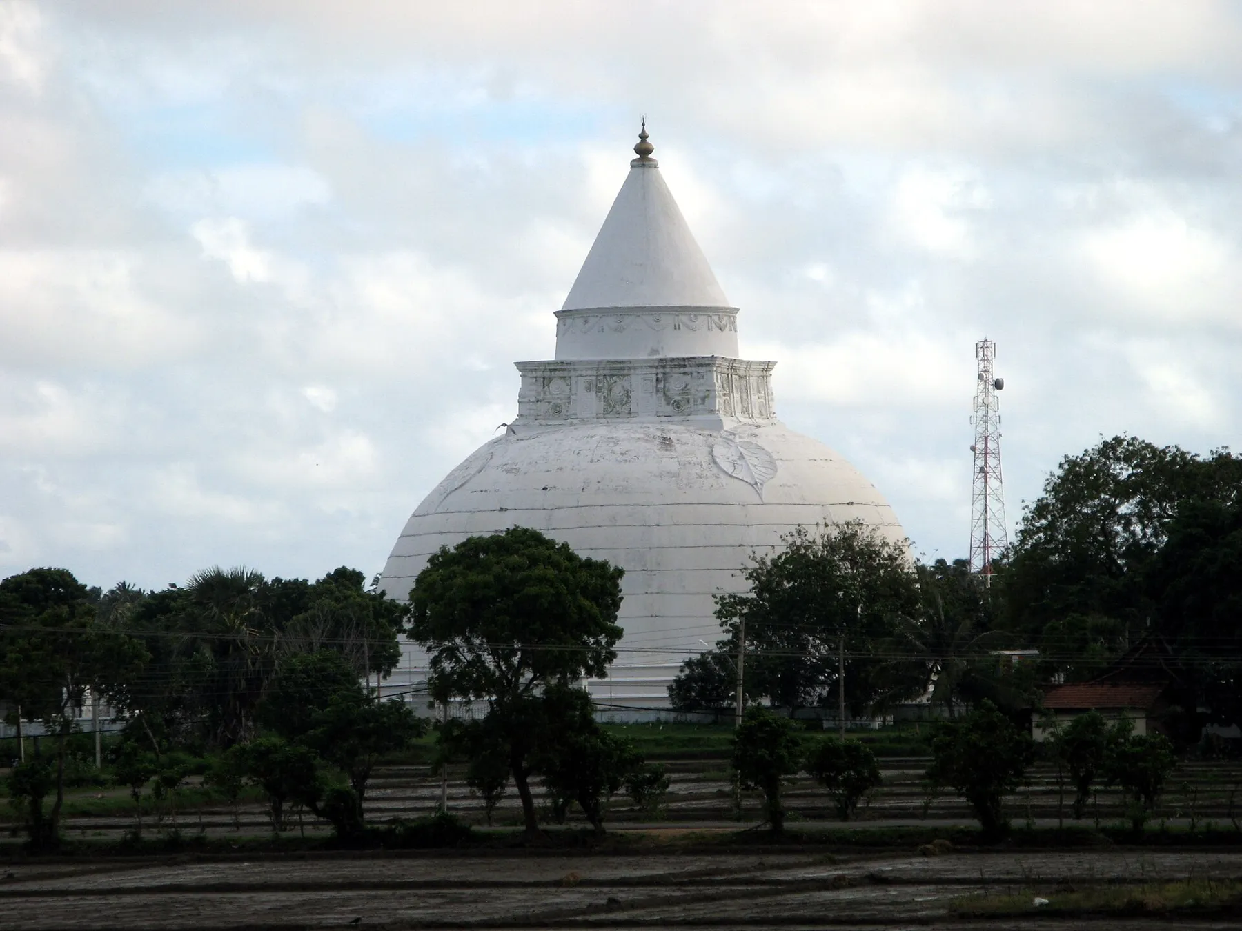
Tissamaharama
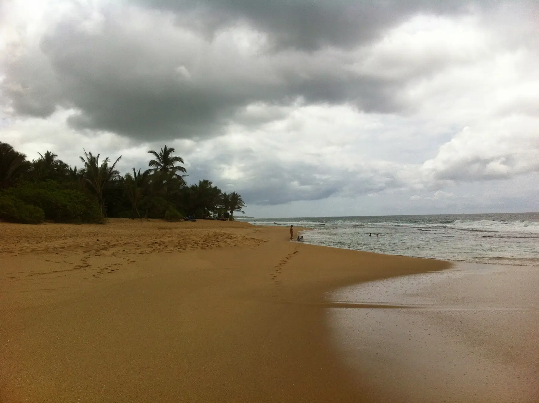
Hambantota
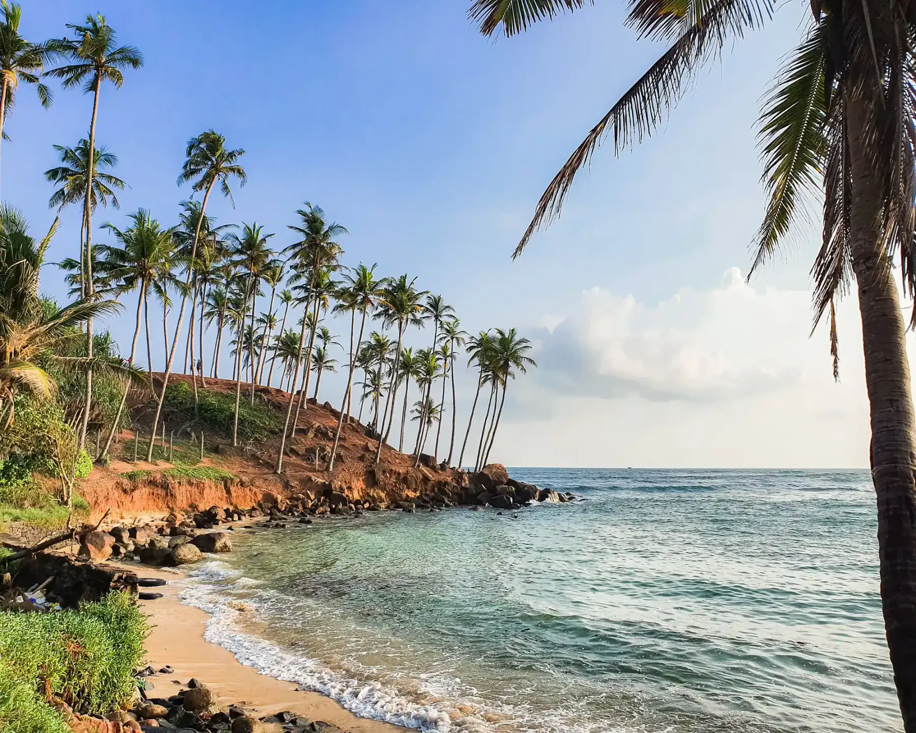
South Coast
Arugam Bay to Yala: how to get there
Udawalawe or Yala?
Related guides
All guides
Ella to Yala: Road Route and Travel Time
Ella to Yala's Palatupana side: an OSRM road ladder via Wellawaya and Tissamaharama, Kataragama options, what the NTC table does not list and a dated 29 October 2026 weather check. No park status claims.
Arugam Bay to Yala: how to get there
Arugam Bay to Yala's Palatupana side is a long road day via Tissamaharama. Kumana (Yala East) is much closer, entered from Panama. OSRM times, NTC notes, no invented jeep fares. Checked 23 October 2026.

Ahangama Weather in December: Swell, Heat and Crowds
What December is like in Ahangama: Galle station rain days and temperatures, sunrise and sunset by date, the surf season, and when the south coast gets busy and costly. Checked 24 October 2026.